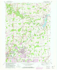
1963 Map of Cedarville
USGS Topo · Published 1982About this map
The winding course of Cedar Creek and the St Joseph River dominates this northeastern Indiana landscape, where the distinct topography of the Cedar Canyons provides a sharp contrast to the surrounding terrain. In the early 1960s, the area around Cedarville and Leo shows a transition toward suburban growth, evidenced by developments like Sunnybrook Acres and Royal Oaks encroaching on established farmland. The map documents significant institutional footprints, including the sprawling campus of Concordia Senior College and the Crosier House of Studies. Local history is deeply etched into the rural corners, with several family-named landmarks and gathering places such as Viberg Chapel, Robinson Chapel, and the Schlatter Cem providing essential clues for genealogical research in these townships. A notable engineering detail is the Reservoir and its Gaging Station near the center of the quadrangle.
Find a feature on this map
88 named features on this map. Tap any name to fly to it.
Don’t see what you’re looking for? This feature index may not catch every label — zoom into the map to look around manually.
Map Details
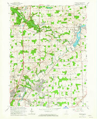
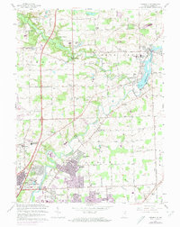
Editions of this 1963 Cedarville Map
3 editions found
Other maps of this area

1953 · Fort Wayne
USGS Topo · 1:250,000

1956 · Fort Wayne
USGS Topo · 1:250,000

1956 · Fort Wayne West
USGS Topo · 1:24,000

1956 · Fort Wayne East
USGS Topo · 1:24,000

1956 · Cedarville
USGS Topo · 1:24,000

1957 · Auburn
USGS Topo · 1:24,000

1957 · Maples
USGS Topo · 1:24,000

1957 · Huntertown
USGS Topo · 1:24,000

1957 · Garrett
USGS Topo · 1:24,000

1958 · Grabill
USGS Topo · 1:24,000