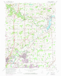
1963 Map of Cedarville
USGS Topo · Published 1974About this map
The St Joseph River and its tributary Cedar Creek define the geography of this northeast Indiana landscape as suburban expansion begins to reach out from Fort Wayne. The northern reaches of the city are visible at the bottom of the map, featuring residential developments like Concordia Gardens and Sunnybrook Acres near the campus of Concordia Senior College. Further north, the river is harnessed by a Spillway to create the Cedarville Reservoir, which borders the established communities of Leo and Cedarville.
Find a feature on this map
67 named features on this map. Tap any name to fly to it.
Don’t see what you’re looking for? This feature index may not catch every label — zoom into the map to look around manually.
Map Details
Editions of this 1963 Cedarville Map
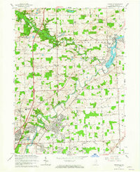
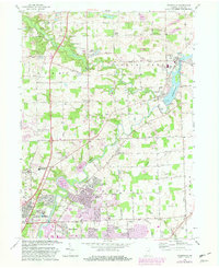
3 editions found
Other maps of this area

1953 · Fort Wayne
USGS Topo · 1:250,000

1956 · Fort Wayne
USGS Topo · 1:250,000

1956 · Fort Wayne West
USGS Topo · 1:24,000

1956 · Fort Wayne East
USGS Topo · 1:24,000

1956 · Cedarville
USGS Topo · 1:24,000

1957 · Auburn
USGS Topo · 1:24,000

1957 · Maples
USGS Topo · 1:24,000

1957 · Huntertown
USGS Topo · 1:24,000

1957 · Garrett
USGS Topo · 1:24,000

1958 · Grabill
USGS Topo · 1:24,000