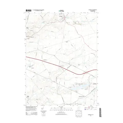
2013 Map of Cedarville
USGS Topo · Published 2013About this map
Cedarville and Wilberforce anchor this portion of Greene County, documenting a landscape where academic institutions and small crossroads communities intersect. The prominent campus of Cedarville University sits at the northern edge of the map, while to the southwest, the William Patrick McPherson Memorial Stadium serves as a landmark near Wilberforce. The region is characterized by numerous family and community burial grounds, including the Massies Creek Cemetery, Shook Cemetery, and Hagler Cemetery, which provide essential touchstones for genealogical research in this part of Ohio.
Find a feature on this map
103 named features on this map. Tap any name to fly to it.
Don’t see what you’re looking for? This feature index may not catch every label — zoom into the map to look around manually.
Map Details
Editions of this 2013 Cedarville Map
This is the sole edition of this map. No revisions or reprints were ever made.
Other maps of this area

1904 · Springfield
USGS Topo · 1:62,500

1906 · Springfield
USGS Topo · 1:62,500

1907 · South Charleston
USGS Topo · 1:62,500

1916 · Octa
USGS Topo · 1:62,500

1917 · Xenia
USGS Topo · 1:62,500

1944 · Octa
USGS Topo · 1:62,500

1947 · Columbus
USGS Topo · 1:250,000

1954 · Clifton
USGS Topo · 1:24,000

1955 · New Burlington
USGS Topo · 1:24,000
1955 · Yellow Springs
USGS Topo · 1:24,000