
1968 Map of Celina
USGS Topo · Published 1971About this map
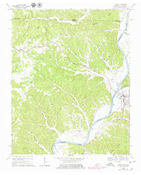
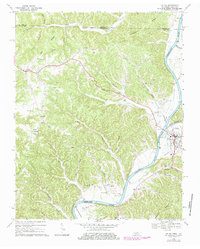
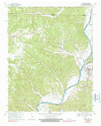
Celina stands at the confluence of the Obey River and the Cumberland River, serving as a focal point for this 1968 survey of Clay County. The landscape is defined by the significant presence of the Cordell Hull Reservoir, which follows the winding river valley. To the west, the topography rises into a complex network of ridges and hollows, where small settlements like Moss, Richville, and Midway are connected by winding country roads and dotted with local landmarks such as Macedonia Ch and New Hope Ch.
Find a feature on this map
50 named features on this map. Tap any name to fly to it.
Don’t see what you’re looking for? This feature index may not catch every label — zoom into the map to look around manually.
Map Details
Editions of this 1968 Celina Map
4 editions found
Other maps of this area

1897 · Standingstone
USGS Topo · 1:125,000

1898 · Standingstone
USGS Topo · 1:125,000

1924 · Lillydale
USGS Topo · 1:62,500

1925 · Gainesboro
USGS Topo · 1:62,500

1926 · Lillydale
USGS Topo · 1:62,500

1929 · Lillydale
USGS Topo · 1:62,500

1929 · Gainesboro
USGS Topo · 1:62,500

1929 · Tompkinsville
USGS Topo · 1:62,500

1954 · Blacks Ferry
USGS Topo · 1:24,000

1954 · Tompkinsville
USGS Topo · 1:24,000