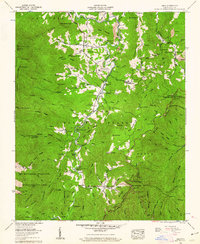
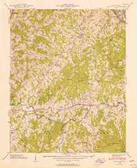
1960 Map of Celo
USGS Topo · Published 1962About this map
Pisgah National Forest dominates this mountain landscape at the dawn of the 1960s, where the South Toe River carves a path between the Pensacola Mountains and Sevenmile Ridge. Settlement is concentrated along the river valley, evidenced by local centers like Celo and Hamrick, and service points such as Ballew Store and the South Toe River Sch. The map reveals a deeply rooted community through numerous family-named landmarks, including Robinson Cem, Carroway Cem, and Patton Cem. Industrial and recreational use coexist here, from a Strip mine near Bailey Mountain to the Carolina Hemlocks Recreation Area. Further south, the terrain rises sharply toward Maple Camp Bald and the Mt Mitchell Wildlife Management Area, while the Blue Ridge Parkway begins its high-altitude transit across the eastern ridges.
Find a feature on this map
125 named features on this map. Tap any name to fly to it.
Don’t see what you’re looking for? This feature index may not catch every label — zoom into the map to look around manually.
Map Details
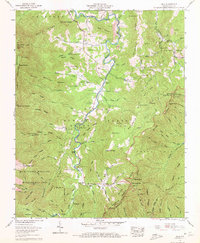
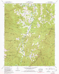
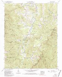
Editions of this 1960 Celo Map
4 editions found
Other maps of this area

1900 · Mount Mitchell
USGS Topo · 1:125,000

1902 · Mount Mitchell
USGS Topo · 1:125,000

1934 · Micaville
USGS Topo · 1:24,000

1934 · Spruce Pine
USGS Topo · 1:24,000

1934 · Parts Of Celo And Black Brothers
USGS Topo · 1:24,000

1934 · Parts Of Old Fort and Montreat
USGS Topo · 1:24,000

1935 · Montreat
USGS Topo · 1:24,000

1935 · Black Brothers
USGS Topo · 1:24,000

1935 · Burnsville
USGS Topo · 1:24,000
1939 · Burnsville
USGS Topo · 1:24,000