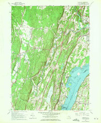
1963 Map of Cementon
USGS Topo · Published 1971About this map
Industrial and maritime activity along the Hudson River defines this 1960s survey of the river's western and eastern banks. The landscape is heavily marked by the region's extractive history, with numerous quarries and a gravel pit flanking the riverside settlements of Cementon and Alsen. The presence of the New York Central railroad and the New York State Thruway cutting through the terrain illustrates the area's role as a vital transportation corridor between the river and the rising elevations of Catskill Park to the west.
Find a feature on this map
59 named features on this map. Tap any name to fly to it.
Don’t see what you’re looking for? This feature index may not catch every label — zoom into the map to look around manually.
Map Details
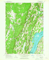
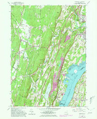
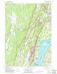
Editions of this 1963 Cementon Map
4 editions found
Other maps of this area

1892 · Kaaterskill
USGS Topo · 1:62,500

1893 · Kaaterskill
USGS Topo · 1:62,500

1893 · Coxsackie
USGS Topo · 1:62,500

1893 · Durham
USGS Topo · 1:62,500

1894 · Coxsackie
USGS Topo · 1:62,500

1894 · Kaaterskill
USGS Topo · 1:62,500

1894 · Durham
USGS Topo · 1:62,500

1895 · Catskill
USGS Topo · 1:62,500

1899 · Kaaterskill
USGS Topo · 1:62,500

1903 · Kaaterskill
USGS Topo · 1:62,500