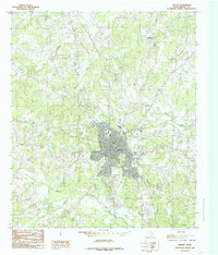
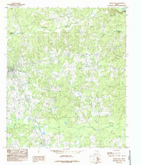
1984 Map of Center
USGS Topo · Published 1985About this map
Center, the county seat of Shelby County, dominates this mid-1980s landscape, surrounded by a dense network of namesake creeks and outlying rural communities. The map captures the town's expansion toward the Municipal Airport and the Rodeo Ground to the northeast, while the smaller settlements of North Jericho and Lamar remain distinct in the surrounding countryside. A detailed look at the town's perimeter reveals mid-century leisure and infrastructure, including a Drive-In Theater and a Golf Course.
Find a feature on this map
24 named features on this map. Tap any name to fly to it.
Don’t see what you’re looking for? This feature index may not catch every label — zoom into the map to look around manually.
Map Details
Editions of this 1984 Center Map
This is the sole edition of this map. No revisions or reprints were ever made.
Other maps of this area

1953 · Palestine
USGS Topo · 1:250,000

1957 · Palestine
USGS Topo · 1:250,000
1958 · Center
USGS Topo · 1:62,500
1958 · San Augustine
USGS Topo · 1:62,500
1958 · Martinsville
USGS Topo · 1:62,500
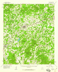
1958 · Timpson
USGS Topo · 1:62,500
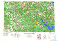
1984 · Palestine
USGS Topo · 1:250,000
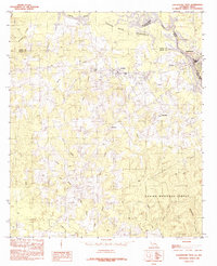
1984 · Logansport West
USGS Topo · 1:24,000
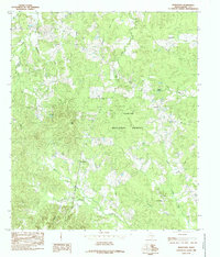
1984 · Hurstown
USGS Topo · 1:24,000
1984 · Tenaha East
USGS Topo · 1:24,000