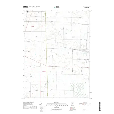
2019 Map of Centerton
USGS Topo · Published 2019About this map
The borderlands of Seneca and Huron Counties are defined by a quiet agricultural landscape and the intricate drainage of Honey Cr and its tributaries. Small settlements such as Centerton and Omar anchor the region, connected by a network of township roads and the east-west corridor of Us Rte 224. A significant portion of the southeastern quadrant is occupied by the New Haven Marsh, a distinctive wetland feature that contrasts with the surrounding surveyed fields. Genealogists will find considerable value in the numerous burial grounds scattered across the townships, including Bethel Cem, Centerton Cem, Omar Cem, and the descriptively named Swamp Cem. The map reveals a land managed by water engineering, visible in the straight lines of Hooper Ditch and Schaaf Ditch as they move water through the local prairie soils.
Find a feature on this map
63 named features on this map. Tap any name to fly to it.
Don’t see what you’re looking for? This feature index may not catch every label — zoom into the map to look around manually.
Map Details
Editions of this 2019 Centerton Map
This is the sole edition of this map. No revisions or reprints were ever made.
Other maps of this area

1915 · Norwalk
USGS Topo · 1:62,500

1915 · Siam
USGS Topo · 1:62,500

1915 · Bucyrus
USGS Topo · 1:62,500

1915 · Crestline
USGS Topo · 1:62,500

1943 · Bucyrus
USGS Topo · 1:62,500

1943 · Crestline
USGS Topo · 1:62,500

1944 · Norwalk
USGS Topo · 1:62,500

1950 · Marion
USGS Topo · 1:250,000

1956 · Toledo
USGS Topo · 1:250,000

1960 · Willard
USGS Topo · 1:24,000