
1953 Map of Centertown
USGS Topo · Published 1955About this map
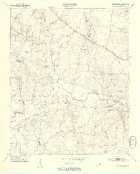
Centertown serves as a focal point along the Broadway of America in this mid-century portrait of Middle Tennessee's rolling plateau. The landscape is defined by the winding course of the North Fork Barren Fork and the Barren Fork, where the N C & St L railroad tracks parallel the main highway. This era shows a well-established network of rural community centers, from the High Sch at Centertown to the quiet crossroads of Trousdale and Pleasant View.
Find a feature on this map
59 named features on this map. Tap any name to fly to it.
Don’t see what you’re looking for? This feature index may not catch every label — zoom into the map to look around manually.
Map Details
Editions of this 1953 Centertown Map
4 editions found
Other maps of this area

1893 · Mc Minnville
USGS Topo · 1:125,000

1895 · Mc Minnville
USGS Topo · 1:125,000

1908 · Woodbury
USGS Topo · 1:62,500

1913 · Hollow Springs
USGS Topo · 1:62,500

1936 · Fredonia
USGS Topo · 1:24,000

1936 · Petty Gap
USGS Topo · 1:24,000

1936 · Morrison
USGS Topo · 1:24,000

1942 · Statesville
USGS Topo · 1:100,000

1943 · Mc Minnville
USGS Topo · 1:100,000

1952 · Centertown
USGS Topo · 1:24,000