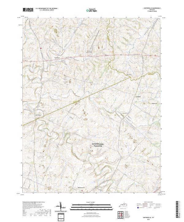
2022 Map of Centerville
USGS Topo · Published 2022About this map
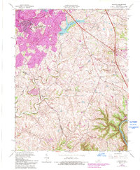
The northern reaches of Lexington-Fayette meet the borders of Scott and Bourbon Counties in this modern topographic landscape. Historically rooted communities like Newtown, New Zion, Mattoxtown, Loradale, and Jimtown dot the landscape, representing the small, enduring rural settlements characteristic of Central Kentucky. The terrain is defined by the winding course of North Elkhorn Creek and its many tributaries, including Goose Creek and Miller Run, which have shaped the drainage patterns of the Bluegrass region for generations.
Find a feature on this map
67 named features on this map. Tap any name to fly to it.
Don’t see what you’re looking for? This feature index may not catch every label — zoom into the map to look around manually.
Map Details
Editions of this 2022 Centerville Map
This is the sole edition of this map. No revisions or reprints were ever made.
Historical Maps of Newtown Through Time
19 maps found

1950 Lexington East
Fayette County, KY

1950 Lexington West
Fayette County, KY
1952 Clintonville
Fayette County, KY

1952 Coletown
Fayette County, KY
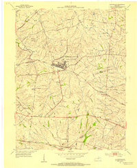
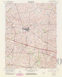
1954 Centerville
Fayette County, KY

1954 Lexington East
Fayette County, KY

1955 Lexington West
Fayette County, KY

1959 Coletown
Fayette County, KY

1959 Lexington East
Fayette County, KY
1959 Lexington West
Fayette County, KY
1965 Clintonville
Fayette County, KY
1965 Coletown
Fayette County, KY
1965 Lexington East
Fayette County, KY
1965 Lexington West
Fayette County, KY
2022 Centerville
Fayette County, KY
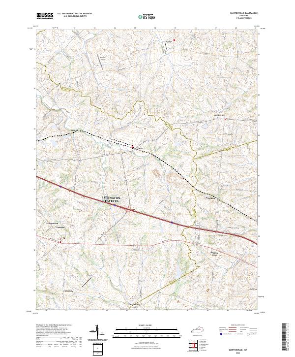
2022 Clintonville
Fayette County, KY
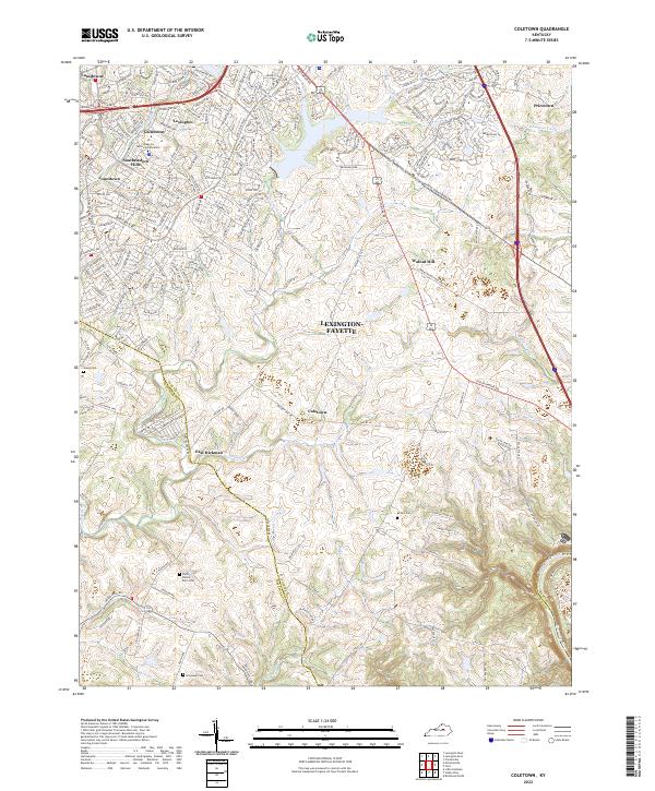
2022 Coletown
Fayette County, KY
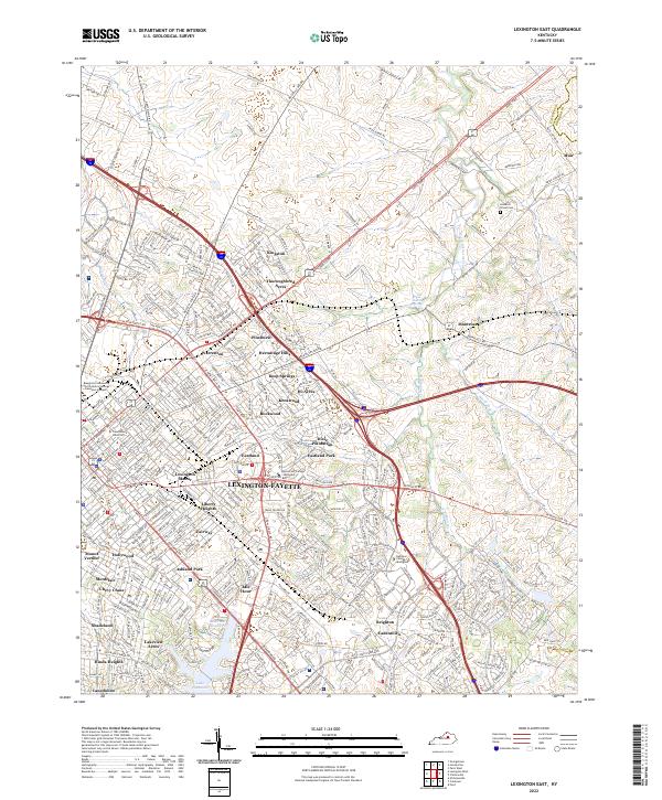
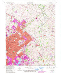
2022 Lexington East
Fayette County, KY
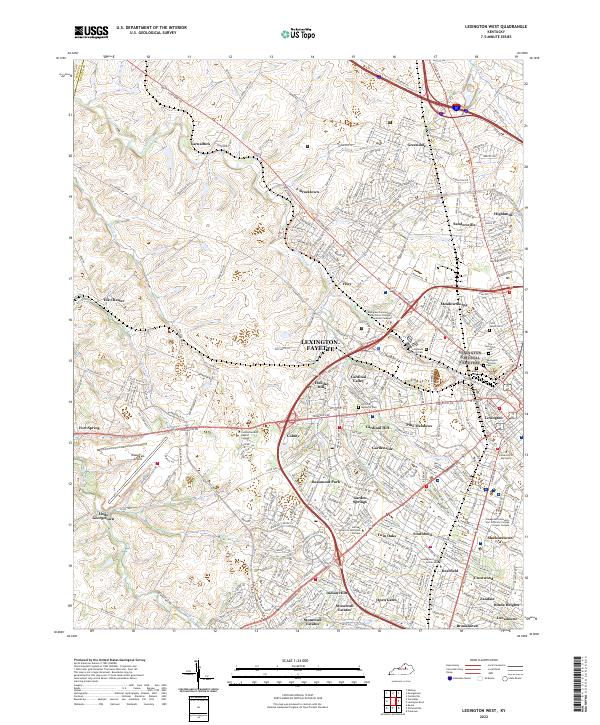
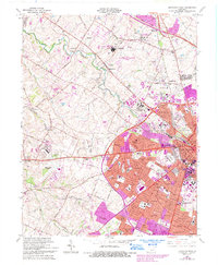
2022 Lexington West
Fayette County, KY