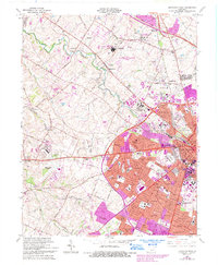
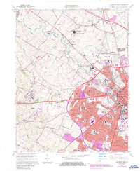
1965 Map of Lexington West
USGS Topo · Published 1993About this map
The urban periphery of Lexington expands westward in this mid-century portrait, where the established core meets the rolling Bluegrass farmland. Post-war residential growth is evident in a ring of suburban developments such as Cardinal Valley, Garden Springs, and Meadowthorpe, while the University of Kentucky campus and Commonwealth Stadium anchor the southeastern quadrant. The map captures a transition in commerce and transit, featuring the sprawling Turfland Mall and the Blue Grass Airport on the city's edge. Beyond the urban limits, the landscape remains defined by its traditional agricultural character, dotted with older hamlets like Yarnallton and Viley. Important community landmarks, including the U S Veterans Hospital and the extensive grounds of the Lexington Cemetery, stand alongside the critical rail corridors of the Southern Railway and the Louisville and Nashville RR.
Find a feature on this map
79 named features on this map. Tap any name to fly to it.
Don’t see what you’re looking for? This feature index may not catch every label — zoom into the map to look around manually.
Map Details
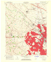
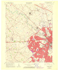
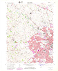
Editions of this 1965 Lexington West Map
5 editions found
Other maps of this area

1892 · Richmond
USGS Topo · 1:125,000

1897 · Richmond
USGS Topo · 1:125,000

1905 · Harrodsburg
USGS Topo · 1:125,000

1906 · Georgetown
USGS Topo · 1:62,500

1908 · Georgetown
USGS Topo · 1:62,500

1927 · Lexington
USGS Topo · 1:48,000

1929 · Lexington
USGS Topo · 1:62,500

1950 · Lexington East
USGS Topo · 1:24,000

1950 · Lexington West
USGS Topo · 1:24,000

1952 · Keene
USGS Topo · 1:24,000
Featured Places
- Lexington, KY
- Highlands, Lexington
- Elk Chester, Lexington
- Holiday Hills, Lexington
- Garden Springs, Lexington