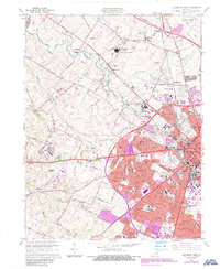
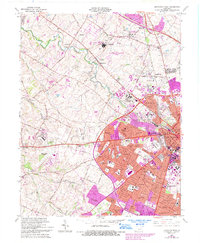
1965 Map of Lexington West
USGS Topo · Published 1987About this map
The western expansion of Lexington is vividly documented here, capturing a period when academic, equestrian, and suburban landscapes converged. The sprawling grounds of the University of Kentucky and the University of Kentucky Agricultural Experimental Station dominate the urban edge, while the city's storied horse racing tradition is anchored by the Keeneland Race Course and the Lexington Trotting Track. Suburban growth is evident in the numerous named neighborhoods like Cardinal Valley, Garden Springs, and Lansdowne that began filling the gaps between older rural points.
Find a feature on this map
186 named features on this map. Tap any name to fly to it.
Don’t see what you’re looking for? This feature index may not catch every label — zoom into the map to look around manually.
Map Details
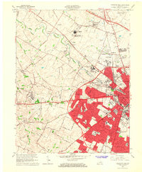
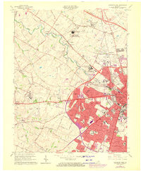
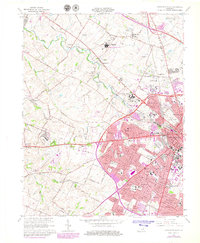
Editions of this 1965 Lexington West Map
5 editions found
Other maps of this area

1892 · Richmond
USGS Topo · 1:125,000

1897 · Richmond
USGS Topo · 1:125,000

1905 · Harrodsburg
USGS Topo · 1:125,000

1906 · Georgetown
USGS Topo · 1:62,500

1908 · Georgetown
USGS Topo · 1:62,500

1927 · Lexington
USGS Topo · 1:48,000

1929 · Lexington
USGS Topo · 1:62,500

1950 · Lexington East
USGS Topo · 1:24,000

1950 · Lexington West
USGS Topo · 1:24,000

1952 · Keene
USGS Topo · 1:24,000
Featured Places
- Lexington, KY
- Highlands, Lexington
- Elk Chester, Lexington
- Holiday Hills, Lexington
- Garden Springs, Lexington