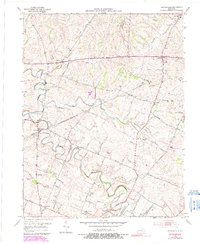
1954 Map of Centerville
USGS Topo · Published 1991About this map
North Fork Elkhorn Creek and Elkhorn Creek wind through the Bluegrass region where Scott, Bourbon, and Lexington-Fayette counties meet. This survey captures a landscape transition in the mid-20th century, where traditional rural settlements like Centerville and Newtown remained established alongside an evolving agricultural economy. The presence of the Man-O-War Monument and the Kentucky State Horse Park reflects the area's deep-rooted identity in thoroughbred history, while an Old Railroad Grade north of Goose Creek serves as a reminder of former transport corridors. Significant local landmarks, including the Mt Horeb Ch and the Center Hill Sch, provide specific points of interest for genealogists tracing family ties in these historic Kentucky communities. The map also details small hamlets such as New Zion, Jimtown, and Mattoxtown, linked by a network of country lanes like Lemons Mill Road and Russell Cave Road.
Find a feature on this map
37 named features on this map. Tap any name to fly to it.
Don’t see what you’re looking for? This feature index may not catch every label — zoom into the map to look around manually.
Map Details
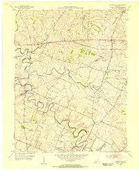
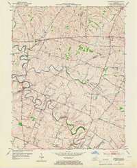
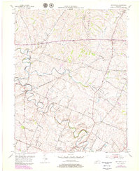
Editions of this 1954 Centerville Map
4 editions found
Other maps of this area

1906 · Georgetown
USGS Topo · 1:62,500

1908 · Georgetown
USGS Topo · 1:62,500

1927 · Lexington
USGS Topo · 1:48,000

1929 · Cynthiana
USGS Topo · 1:48,000

1929 · Lexington
USGS Topo · 1:62,500

1934 · Cynthiana
USGS Topo · 1:62,500

1939 · Sadieville
USGS Topo · 1:62,500

1950 · Lexington East
USGS Topo · 1:24,000

1950 · Lexington West
USGS Topo · 1:24,000

1952 · Clintonville
USGS Topo · 1:24,000