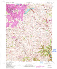
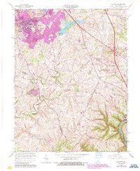
1965 Map of Coletown
USGS Topo · Published 1993About this map
Lexington expands southeastward in this survey, showing the transition from dense urban development to the rolling horse country of central Kentucky. Modern infrastructure like the New Circle Road and Tates Creek High Sch anchors the residential growth in Lansdowne and Southeastern Hills, while the outlying landscape remains defined by agricultural lanes and historic landmarks. The Lexington Reservoir No 4 and its associated Filtration Plant serve as a focal point for the region's water management.
Find a feature on this map
39 named features on this map. Tap any name to fly to it.
Don’t see what you’re looking for? This feature index may not catch every label — zoom into the map to look around manually.
Map Details
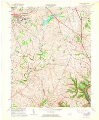
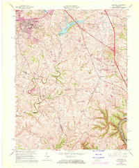
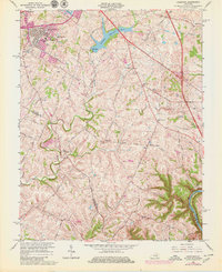
Editions of this 1965 Coletown Map
5 editions found
Other maps of this area

1892 · Richmond
USGS Topo · 1:125,000

1897 · Richmond
USGS Topo · 1:125,000

1905 · Harrodsburg
USGS Topo · 1:125,000

1906 · Georgetown
USGS Topo · 1:62,500

1908 · Georgetown
USGS Topo · 1:62,500

1927 · Lexington
USGS Topo · 1:48,000

1929 · Lexington
USGS Topo · 1:62,500

1950 · Lexington East
USGS Topo · 1:24,000

1950 · Lexington West
USGS Topo · 1:24,000

1952 · Valley View
USGS Topo · 1:24,000
Featured Places
- Lexington, KY
- Southeastern Hills, Lexington
- Coletown, Lexington
- Jonestown, Lexington
- Gainesway, Lexington