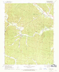
1968 Map of Centerville
USGS Topo · Published 1971About this map
Centerville sits at the convergence of rugged Ozark drainages where the West Fork Black River and Middle Fork Black River meet to form the main stem of the Black River. This 1960s topographic record reveals a landscape defined by steep hollows and narrow valleys, such as Ellington Hollow and Harrison Valley, which dictated the pattern of local settlement and transport. Genealogists can locate family burial grounds including Rayfield Cem, Howell Cem, and Johnson Cem, often situated on elevated benches above the river flats. The mapping of Double Springs and Reeds Spring highlights the vital importance of karst water sources to the region's homesteads. Significant landmarks like Clarady Bluff and Low Gap Ridge provided natural navigation points within the sprawling Clark National Forest during this era.
Find a feature on this map
48 named features on this map. Tap any name to fly to it.
Don’t see what you’re looking for? This feature index may not catch every label — zoom into the map to look around manually.
Map Details
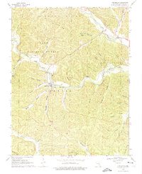
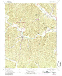
Editions of this 1968 Centerville Map
3 editions found
Other maps of this area

1924 · Edgehill
USGS Topo · 1:62,500

1926 · Edgehill
USGS Topo · 1:62,500

1943 · Lesterville
USGS Topo · 1:62,500

1943 · Boss
USGS Topo · 1:62,500

1944 · Corridon
USGS Topo · 1:62,500

1946 · Lesterville
USGS Topo · 1:62,500

1946 · Boss
USGS Topo · 1:62,500

1947 · Corridon
USGS Topo · 1:62,500

1949 · Rolla
USGS Topo · 1:250,000

1953 · Rolla
USGS Topo · 1:250,000