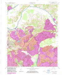
1963 Map of Central City East
USGS Topo · Published 1983About this map
The Green River carves a winding path along the border of Muhlenberg and Ohio counties, defining a landscape shaped by coal extraction and river commerce in the early 1960s. Extensive strip mines dominate the terrain east of Central City, where the Illinois Central railroad and the Western Kentucky Parkway provide critical infrastructure for the region's energy economy. This survey documents the expansion of industrial activity, highlighted by the Green River Power Plant situated near the riverbanks.
Find a feature on this map
26 named features on this map. Tap any name to fly to it.
Don’t see what you’re looking for? This feature index may not catch every label — zoom into the map to look around manually.
Map Details
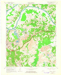
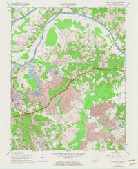
Editions of this 1963 Central City East Map
3 editions found
Other maps of this area

1909 · Hartford
USGS Topo · 1:62,500

1909 · Central City
USGS Topo · 1:62,500

1911 · Drakesboro
USGS Topo · 1:48,000

1911 · Dunmor
USGS Topo · 1:48,000

1913 · Drakesboro
USGS Topo · 1:62,500

1914 · Dunmor
USGS Topo · 1:62,500

1952 · Equality
USGS Topo · 1:24,000

1952 · Livermore
USGS Topo · 1:24,000

1952 · Greenville
USGS Topo · 1:24,000

1953 · Drakesboro
USGS Topo · 1:24,000