
1909 Map of Central City
USGS Topo · Published 1909About this map
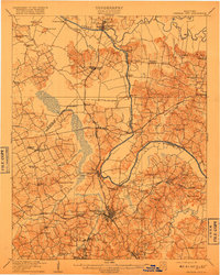
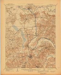
Central City serves as the industrial and transportation nexus of this 1907 survey, where the Illinois Central Railroad and Louisville and Nashville Railroad converge near the coal-rich corridor of Cleaton and Mercer. The landscape is defined by the winding course of the Green River, which forms the boundary between McLean, Ohio, and Muhlenberg counties. Along its banks, traditional river commerce is evident at Knotts Ferry, Fords Ferry, and Kinchloe Ferry, while the Rough River enters from the northeast near Livermore.
Find a feature on this map
75 named features on this map. Tap any name to fly to it.
Don’t see what you’re looking for? This feature index may not catch every label — zoom into the map to look around manually.
Map Details
Editions of this 1909 Central City Map
3 editions found
Other maps of this area

1906 · Sutherland
USGS Topo · 1:62,500

1907 · Whitesville
USGS Topo · 1:62,500

1908 · Calhoun
USGS Topo · 1:62,500

1909 · Whitesville
USGS Topo · 1:62,500

1909 · Madisonville
USGS Topo · 1:62,500

1909 · Hartford
USGS Topo · 1:62,500

1911 · Drakesboro
USGS Topo · 1:48,000

1911 · Dunmor
USGS Topo · 1:48,000

1912 · Nortonville
USGS Topo · 1:62,500

1913 · Drakesboro
USGS Topo · 1:62,500