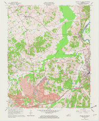
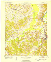
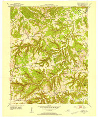
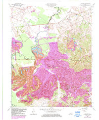
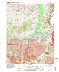
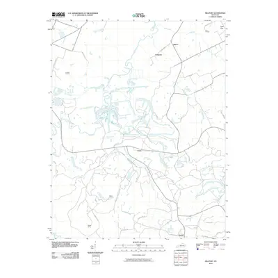
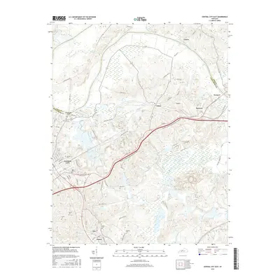
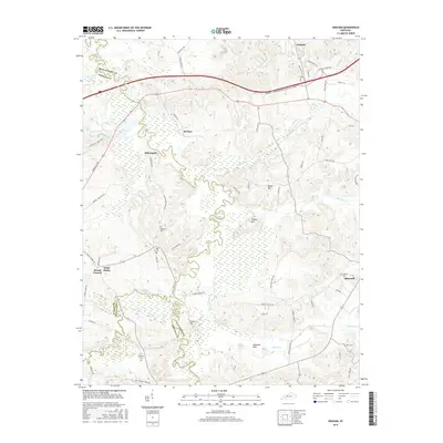
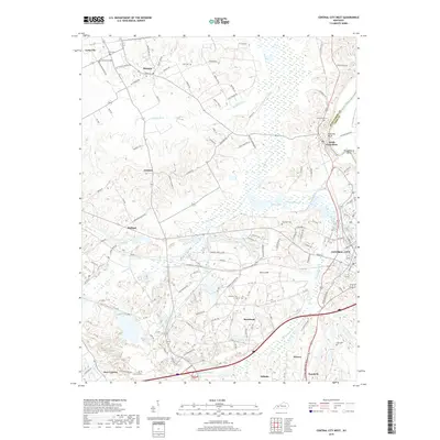
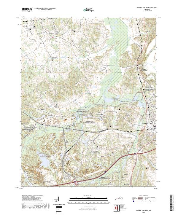
1963 Map of Central City West
USGS Topo · Published 1973About this map
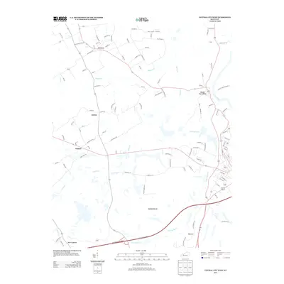
Peabody Coal Company rail lines and extensive strip mines dominate this mid-century view of the Western Kentucky coal fields. The landscape is a complex network of industrial extraction and traditional rural life, where small settlements like Gishton and Bremen persist alongside the heavy infrastructure of the Illinois Central and Louisville and Nashville railroads. In the eastern portion, the Green River carves the boundary between Muhlenberg and Ohio counties, passing South Carrollton and the station at Mogg.
Find a feature on this map
46 named features on this map. Tap any name to fly to it.
Don’t see what you’re looking for? This feature index may not catch every label — zoom into the map to look around manually.
Map Details
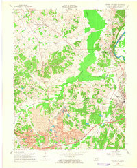
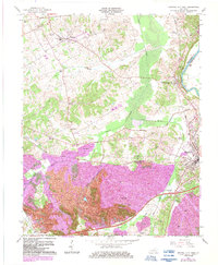
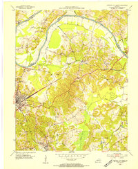
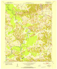
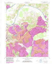
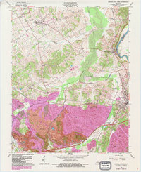
Editions of this 1963 Central City West Map
4 editions found
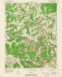
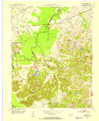
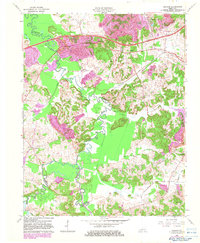
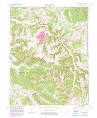
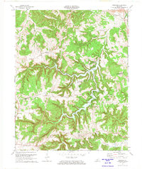
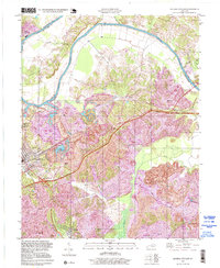
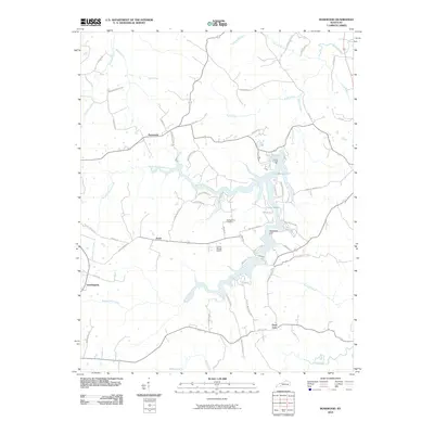
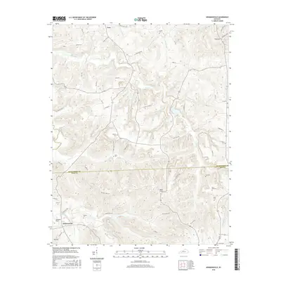
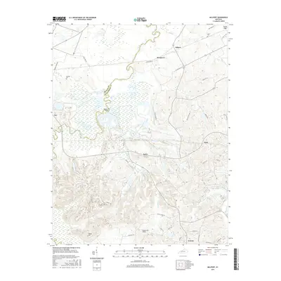
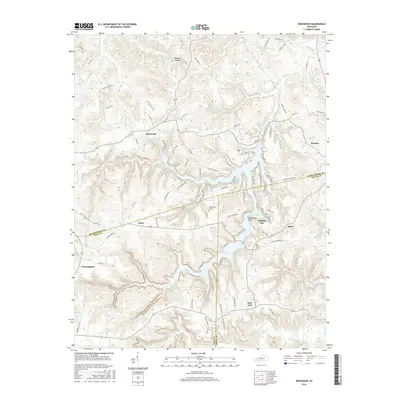
Historical Maps of Central City Through Time
44 maps found
1953 Central City East
Muhlenberg County, KY
1953 Central City West
Muhlenberg County, KY
1953 Graham
Muhlenberg County, KY
1953 Kirkmansville
Muhlenberg County, KY
1953 Millport
Muhlenberg County, KY
1953 Rosewood
Muhlenberg County, KY
1963 Central City East
Muhlenberg County, KY
1963 Central City West
Muhlenberg County, KY
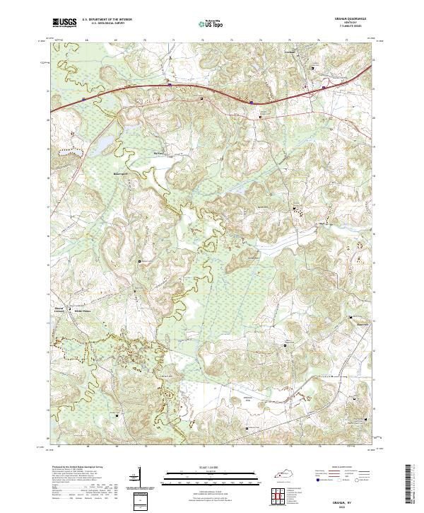
1963 Graham
Muhlenberg County, KY
1963 Millport
Muhlenberg County, KY
1972 Kirkmansville
Muhlenberg County, KY
1972 Rosewood
Muhlenberg County, KY
1997 Central City East
Muhlenberg County, KY
1997 Central City West
Muhlenberg County, KY

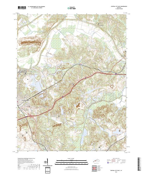
2010 Central City East
Muhlenberg County, KY
2010 Central City West
Muhlenberg County, KY
2010 Graham
Muhlenberg County, KY
2010 Kirkmansville
Muhlenberg County, KY
2010 Millport
Muhlenberg County, KY
2010 Rosewood
Muhlenberg County, KY

2013 Central City East
Muhlenberg County, KY
2013 Central City West
Muhlenberg County, KY
2013 Graham
Muhlenberg County, KY
2013 Kirkmansville
Muhlenberg County, KY

2013 Millport
Muhlenberg County, KY
2013 Rosewood
Muhlenberg County, KY
2016 Central City East
Muhlenberg County, KY
2016 Central City West
Muhlenberg County, KY
2016 Graham
Muhlenberg County, KY
2016 Kirkmansville
Muhlenberg County, KY
2016 Millport
Muhlenberg County, KY
2016 Rosewood
Muhlenberg County, KY

2019 Central City East
Muhlenberg County, KY
2019 Central City West
Muhlenberg County, KY
2019 Graham
Muhlenberg County, KY
2019 Kirkmansville
Muhlenberg County, KY
2019 Millport
Muhlenberg County, KY
2019 Rosewood
Muhlenberg County, KY
2022 Central City East
Muhlenberg County, KY
2022 Central City West
Muhlenberg County, KY
2022 Graham
Muhlenberg County, KY
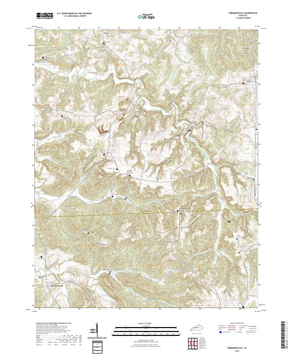
2022 Kirkmansville
Muhlenberg County, KY
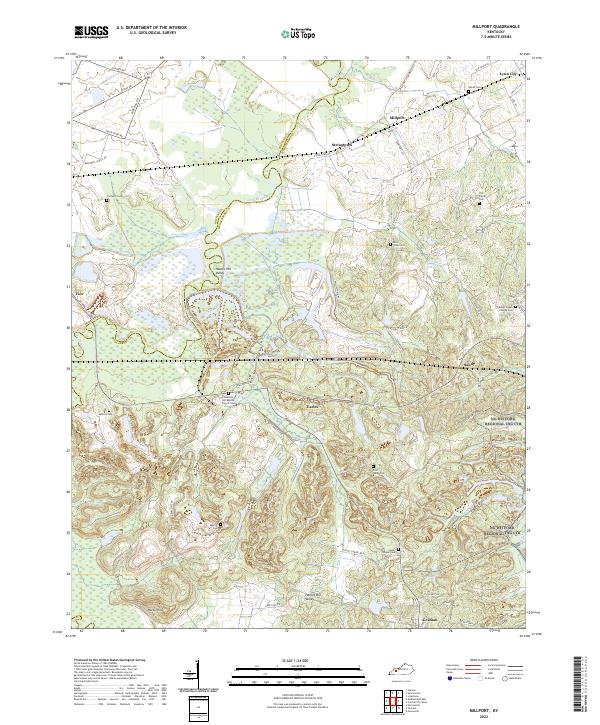
2022 Millport
Muhlenberg County, KY
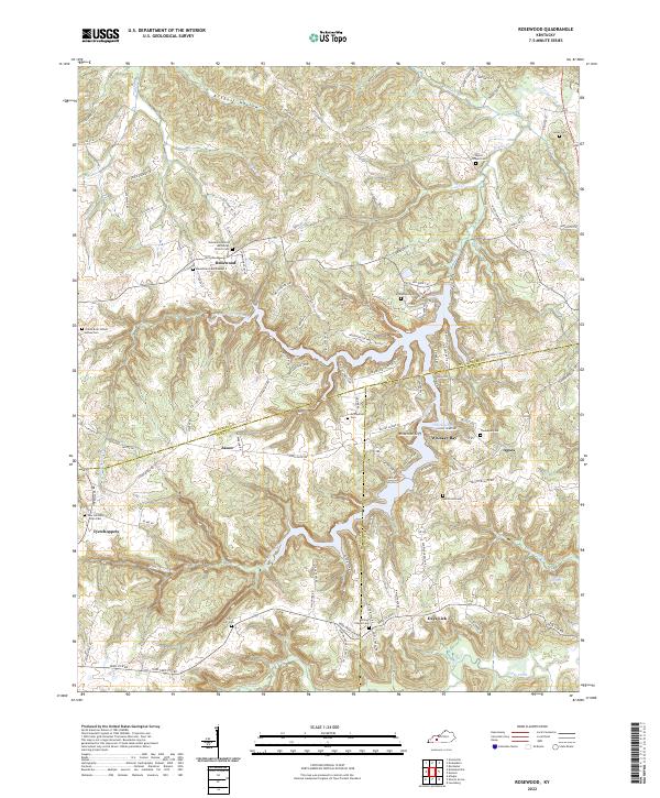
2022 Rosewood
Muhlenberg County, KY