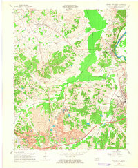
1963 Map of Central City West
USGS Topo · Published 1965About this map
Industrial expansion and traditional settlements converge in this 1963 study of Muhlenberg County. Large-scale earthmoving by the Peabody Coal Company and extensive Strip Mines dominate the southern landscape, contrasted by the enduring communities of Bremen, Gishton, and South Carrollton. This era reflects a landscape in transition, where broken contours indicate areas strip-mined after the original aerial surveys. The Green River forms a significant boundary to the east, while the Louisville and Nashville and Illinois Central railroads provide the critical infrastructure for the coal economy. Genealogists will find numerous rural landmarks preserved here, from family-named burial grounds like Scott Cem and Coleman Cem to local spiritual hubs such as Shavers Chapel and Bethlehem Ch. The newly developed Western Kentucky Toll Parkway cuts across the center, signaling a shift toward modern highway transport.
Find a feature on this map
48 named features on this map. Tap any name to fly to it.
Don’t see what you’re looking for? This feature index may not catch every label — zoom into the map to look around manually.
Map Details
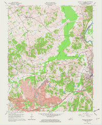
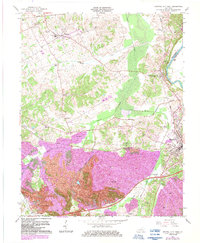
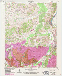
Editions of this 1963 Central City West Map
4 editions found
Other maps of this area

1909 · Madisonville
USGS Topo · 1:62,500

1909 · Central City
USGS Topo · 1:62,500

1911 · Drakesboro
USGS Topo · 1:48,000

1912 · Nortonville
USGS Topo · 1:62,500

1913 · Drakesboro
USGS Topo · 1:62,500

1952 · Equality
USGS Topo · 1:24,000

1952 · Livermore
USGS Topo · 1:24,000

1952 · Sacramento
USGS Topo · 1:24,000

1952 · Greenville
USGS Topo · 1:24,000

1953 · Drakesboro
USGS Topo · 1:24,000