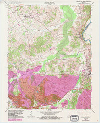
1963 Map of Central City West
USGS Topo · Published 1988About this map
Strip mines dominate the landscape south of Midland and Gishton in this map based on 1963 data with later photorevisions. The industrial footprint of the Peabody Coal Company and various unnamed mining operations define the southern half of the quadrangle, where the Western Kentucky Parkway and Kentucky Toll Road cut through heavily altered terrain. In contrast, the northern portion retains more traditional rural structures like Shavers Chapel and Bethlehem Ch, while the Green River forms the eastern boundary, passing by South Carrollton and the Mogg (Green River Sta) station. This document captures the moment when heavy surface mining and new high-speed transit corridors began to fundamentally reshape the traditional small-town life of Bremen and Morehead.
Find a feature on this map
46 named features on this map. Tap any name to fly to it.
Don’t see what you’re looking for? This feature index may not catch every label — zoom into the map to look around manually.
Map Details
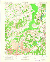
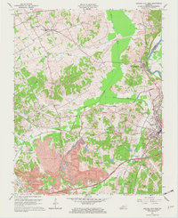
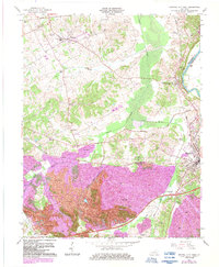
Editions of this 1963 Central City West Map
4 editions found
Other maps of this area

1909 · Madisonville
USGS Topo · 1:62,500

1909 · Central City
USGS Topo · 1:62,500

1911 · Drakesboro
USGS Topo · 1:48,000

1912 · Nortonville
USGS Topo · 1:62,500

1913 · Drakesboro
USGS Topo · 1:62,500

1952 · Equality
USGS Topo · 1:24,000

1952 · Livermore
USGS Topo · 1:24,000

1952 · Sacramento
USGS Topo · 1:24,000

1952 · Greenville
USGS Topo · 1:24,000

1953 · Drakesboro
USGS Topo · 1:24,000