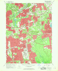
1967 Map of Central Islip
USGS Topo · Published 1970About this map
The Central Islip State Hospital complex dominates the central landscape of this Suffolk County survey, its extensive grounds and filter beds situated just south of the Long Island railroad tracks. This mid-century view captures a period of intense suburban expansion as the Long Island Expressway and Southern State Parkway carve through the terrain, connecting established villages like Smithtown and Village of the Branch with emerging residential tracts in East Brentwood and Hauppauge.
Find a feature on this map
82 named features on this map. Tap any name to fly to it.
Don’t see what you’re looking for? This feature index may not catch every label — zoom into the map to look around manually.
Map Details
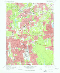
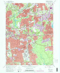
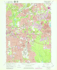
Editions of this 1967 Central Islip Map
4 editions found
Other maps of this area

1901 · Babylon
USGS Topo · 1:62,500

1901 · Northport
USGS Topo · 1:62,500

1902 · Setauket
USGS Topo · 1:62,500

1902 · Fire Island
USGS Topo · 1:62,500

1903 · Babylon
USGS Topo · 1:62,500

1903 · Northport
USGS Topo · 1:62,500

1903 · Fire Island
USGS Topo · 1:62,500

1904 · Setauket
USGS Topo · 1:62,500

1904 · Islip
USGS Topo · 1:125,000

1919 · Setauket
USGS Topo · 1:62,500