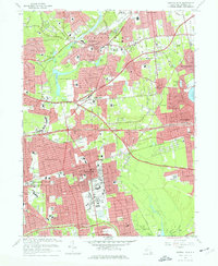
1967 Map of Central Islip
USGS Topo · Published 1977About this map
Central Islip State Hospital anchors the southern portion of this mid-century survey, its expansive grounds and infrastructure including sewage disposal and filter beds alongside the Long Island rail corridor. The map captures a period of intense suburban transition across central Suffolk County, where residential developments were rapidly filling the spaces between established hamlets like Smithtown and Hauppauge. Transportation is a dominant theme, with the Long Island Expressway and Veterans Memorial Highway carving through the landscape. Natural features persist amidst the growth, from the winding Nissequogue River in the north to the Bayard Cutting Arboretum on the Connetquot River to the south. Local history is documented through numerous educational and religious sites, such as St Patricks Sch, Wheeler Road Cem, and the Academy of St Joseph, reflecting the community's mid-1960s social fabric.
Find a feature on this map
90 named features on this map. Tap any name to fly to it.
Don’t see what you’re looking for? This feature index may not catch every label — zoom into the map to look around manually.
Map Details
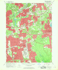
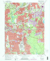
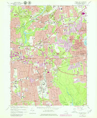
Editions of this 1967 Central Islip Map
4 editions found
Other maps of this area

1901 · Babylon
USGS Topo · 1:62,500

1901 · Northport
USGS Topo · 1:62,500

1902 · Setauket
USGS Topo · 1:62,500

1902 · Fire Island
USGS Topo · 1:62,500

1903 · Babylon
USGS Topo · 1:62,500

1903 · Northport
USGS Topo · 1:62,500

1903 · Fire Island
USGS Topo · 1:62,500

1904 · Setauket
USGS Topo · 1:62,500

1904 · Islip
USGS Topo · 1:125,000

1919 · Setauket
USGS Topo · 1:62,500