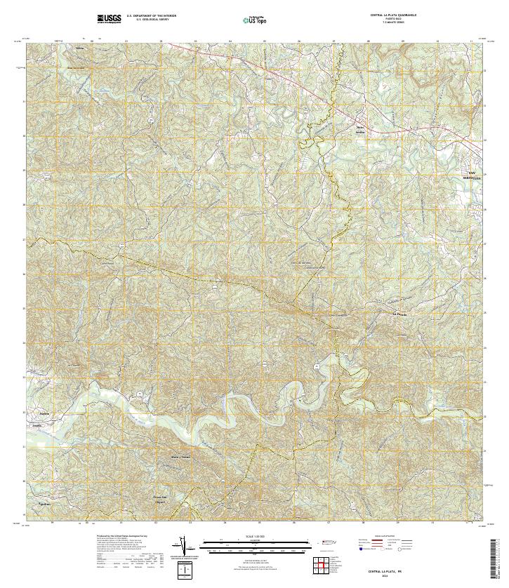
2024 Map of Central La Plata
USGS Topo · Published 2024About this map
San Sebastián serves as the focal point of this western Puerto Rican landscape, where the terrain transitions from the alluvial plains of major river systems into the sharp relief of the interior cordillera. The Río Grande de Añasco meanders through the southern sector, carving a deep valley past settlements like Mata y Orsini and Finca San Miguel. In the north, the Río Culebrinas and its numerous tributaries, including Quebrada de Loro and Quebrada Lasalle, drain the limestone-rich hills near Hato Arriba.
Find a feature on this map
111 named features on this map. Tap any name to fly to it.
Don’t see what you’re looking for? This feature index may not catch every label — zoom into the map to look around manually.
Map Details
Editions of this 2024 Central La Plata Map
This is the sole edition of this map. No revisions or reprints were ever made.
Other maps of this area

1937 · Aguadilla
USGS Topo · 1:20,000

1937 · Moca
USGS Topo · 1:20,000

1938 · Alto Sano
USGS Topo · 1:20,000

1938 · San Sebastian
USGS Topo · 1:20,000

1938 · Quebradillas
USGS Topo · 1:20,000

1939 · Mayaguez
USGS Topo · 1:30,000

1941 · Moca
USGS Topo · 1:30,000

1941 · Rincon
USGS Topo · 1:30,000

1941 · Rincon
USGS Topo · 1:30,000

1941 · San Sebastian
USGS Topo · 1:30,000
Featured Places
- Sector Los Crespos, San Sebastián
- Sector La Grúa, Añasco
- Sector Los Ramos, Moca
- Sector Caña Verde, San Sebastián
- Sector Ramos, San Sebastián