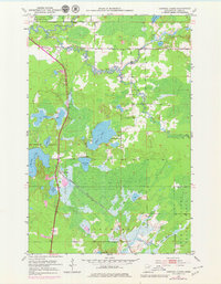
1951 Map of Central Lakes
USGS Topo · Published 1979About this map
The Duluth Winnipeg and Pacific railroad forms the structural backbone of this 1951 landscape, running south toward Ellsburg and passing through the small settlement at Central Lakes. This northern Minnesota terrain is defined by its complex hydrology, where the St Louis River meanders across the northern boundary and the Paleface River drains the south. Between these waters lies a dense network of lakes, including Elliott Lake, Anchor Lake, and Lake Augusta, many of which feature depth soundings compiled by the Minnesota Department of Conservation.
Find a feature on this map
27 named features on this map. Tap any name to fly to it.
Don’t see what you’re looking for? This feature index may not catch every label — zoom into the map to look around manually.
Map Details
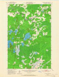
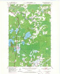
Editions of this 1951 Central Lakes Map
4 editions found
Other maps of this area

1951 · Palo
USGS Topo · 1:24,000

1951 · Gilbert
USGS Topo · 1:24,000

1951 · Eveleth
USGS Topo · 1:24,000

1951 · Central Lakes
USGS Topo · 1:24,000

1951 · Zim
USGS Topo · 1:24,000

1951 · Makinen
USGS Topo · 1:24,000

1954 · Hibbing
USGS Topo · 1:250,000

1956 · Cotton
USGS Topo · 1:24,000

1956 · Whiteface
USGS Topo · 1:24,000

1957 · Hibbing
USGS Topo · 1:250,000