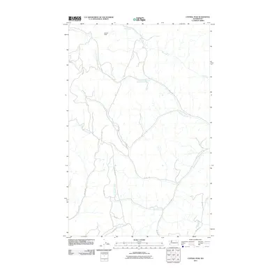
2011 Map of Central Peak
USGS Topo · Published 2011About this map
Central Peak stands as the primary landmark in this upland landscape of north-central Washington, where the drainage network of the Colville Indian Reservation is meticulously charted. The map traces the winding paths of North Nanamkin Creek and South Nanamkin Creek as they move through the topography, alongside other watercourses like Bear Creek and Owhi Creek. A complex system of Bureau of Indian Affairs routes, including BIA 108 Rd and BIA 1002 Rd, provides a detailed look at the land management and access patterns within this specific quadrangle. This 2011 survey serves as a precise record of the road network and hydrology of the Okanogan County backcountry, showing the intersection of Central Peak Rd with the remote mountain terrain.
Find a feature on this map
17 named features on this map. Tap any name to fly to it.
Don’t see what you’re looking for? This feature index may not catch every label — zoom into the map to look around manually.
Map Details
Editions of this 2011 Central Peak Map
This is the sole edition of this map. No revisions or reprints were ever made.
Other maps of this area

1950 · Nespelem
USGS Topo · 1:62,500

1952 · Keller
USGS Topo · 1:62,500

1953 · Seventeenmile Mtn.
USGS Topo · 1:62,500

1953 · Bald Knob
USGS Topo · 1:62,500

1954 · Okanogan
USGS Topo · 1:250,000

1958 · Okanogan
USGS Topo · 1:250,000

1984 · Nespelem
USGS Topo · 1:100,000

1986 · Central Peak
USGS Topo · 1:24,000
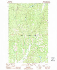
1989 · Stepstone Creek
USGS Topo · 1:24,000
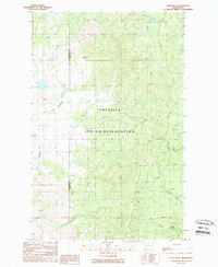
1989 · Nespelem NE
USGS Topo · 1:24,000