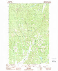
1989 Map of Stepstone Creek
USGS Topo · Published 1989About this map
The Colville Indian Reservation encompasses this high-elevation landscape in the late 1980s, where the winding Nespelem River and its numerous tributaries define the local topography. At the northern edge of the map, the settlement of Park City sits near the headwaters, while the southern reaches are marked by the notable waters of Owhi Lake and Little Owhi Lake. This interior portion of Okanogan County is characterized by significant relief, featuring the Broken Mountains and the deep cut of Strawberry Canyon. The drainage network is particularly dense, with Stepstone Creek, North Star Creek, and Kinkaid Creek all flowing through the reservation's timbered hills and valleys. This 1989 data, based on photography from earlier in the decade, provides a clear view of the water resources and landforms that have historically shaped this part of Washington.
Find a feature on this map
14 named features on this map. Tap any name to fly to it.
Don’t see what you’re looking for? This feature index may not catch every label — zoom into the map to look around manually.
Map Details
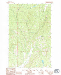
Editions of this 1989 Stepstone Creek Map
2 editions found
Other maps of this area

1950 · Nespelem
USGS Topo · 1:62,500

1950 · Alameda Flat
USGS Topo · 1:62,500

1952 · Alameda Flat
USGS Topo · 1:62,500

1952 · Disautel
USGS Topo · 1:62,500

1953 · Bald Knob
USGS Topo · 1:62,500

1954 · Okanogan
USGS Topo · 1:250,000

1958 · Okanogan
USGS Topo · 1:250,000
1983 · Omak
USGS Topo · 1:100,000

1984 · Nespelem
USGS Topo · 1:100,000

1986 · Central Peak
USGS Topo · 1:24,000