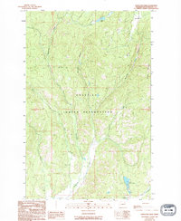
1989 Map of Stepstone Creek
USGS Topo · Published 1994About this map
The Colville Indian Reservation encompasses nearly the entire landscape in this 1980s-era study, where the Nespelem River winds through a terrain defined by steep creek drainages and high ridges. The map captures the remote character of northeastern Washington, centered on the Stepstone Creek watershed as it flows toward the southern boundary. To the north, the settlement of Park City sits near the upper reaches of the river, while the eastern edge is dominated by the Broken Mountains.
Find a feature on this map
14 named features on this map. Tap any name to fly to it.
Don’t see what you’re looking for? This feature index may not catch every label — zoom into the map to look around manually.
Map Details
Editions of this 1989 Stepstone Creek Map
2 editions found
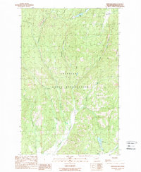
Other maps of this area

1950 · Nespelem
USGS Topo · 1:62,500

1950 · Alameda Flat
USGS Topo · 1:62,500

1952 · Alameda Flat
USGS Topo · 1:62,500

1952 · Disautel
USGS Topo · 1:62,500

1953 · Bald Knob
USGS Topo · 1:62,500

1954 · Okanogan
USGS Topo · 1:250,000

1958 · Okanogan
USGS Topo · 1:250,000
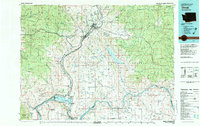
1983 · Omak
USGS Topo · 1:100,000

1984 · Nespelem
USGS Topo · 1:100,000

1986 · Central Peak
USGS Topo · 1:24,000