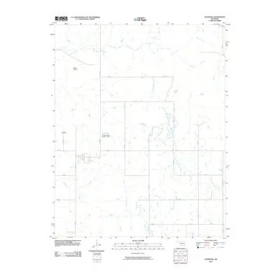
2010 Map of Centralia
USGS Topo · Published 2010About this map
Centralia sits at the heart of this northeast Oklahoma prairie landscape, serving as a hub for a network of section roads like E 150 Rd and S 4300 Rd. The terrain is defined by its drainage systems, most notably the meandering course of West Fork Big Cabin Creek and the distinctive landmark of Notch Mound. For genealogists and local historians, the Centralia Cemetery west of the main settlement remains a primary point of interest. The area's land use is punctuated by water management features like the Snedden Ranch Number 1 Dam, while the surrounding acreage is fed by Salt Creek, Pawpaw Creek, and Clear Creek. The map illustrates a rural continuity, where the grid of county roads maintains the original township structure even as individual ranching and farming properties evolve.
Find a feature on this map
22 named features on this map. Tap any name to fly to it.
Don’t see what you’re looking for? This feature index may not catch every label — zoom into the map to look around manually.
Map Details
Editions of this 2010 Centralia Map
This is the sole edition of this map. No revisions or reprints were ever made.
Other maps of this area

1901 · Vinita
USGS Topo · 1:125,000

1913 · Vinita
USGS Topo · 1:125,000

1954 · Tulsa
USGS Topo · 1:250,000

1958 · Tulsa
USGS Topo · 1:250,000

1963 · Tulsa
USGS Topo · 1:250,000
1971 · Pyramid Corners
USGS Topo · 1:24,000
1971 · Vinita
USGS Topo · 1:24,000
1971 · Welch NW
USGS Topo · 1:24,000
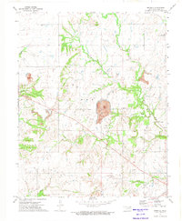
1972 · Estella
USGS Topo · 1:24,000
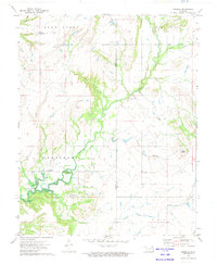
1972 · Sanders
USGS Topo · 1:24,000