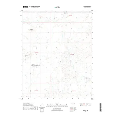
2019 Map of Centralia
USGS Topo · Published 2019About this map
Centralia serves as the primary hub of this northeastern Oklahoma landscape, situated at the junction of W Grand Ave and Lombard Ave. The settlement is defined by a traditional grid of section-line roads, such as S 4285 Rd and NS 0153 Rd, which partition the surrounding terrain into orderly agricultural plots. To the northwest, the land rises to Notch Mound, a prominent topographic landmark overlooking the drainage basins of several local waterways. The area is heavily influenced by the meandering course of the W Fork Big Cabin Cr, which carves a path through the eastern portion of the township alongside Salt Cr and Clear Cr. For those researching local heritage, the Centralia Cem provides a significant point of reference just north of the town center, representing the long-standing community roots in Craig County.
Find a feature on this map
34 named features on this map. Tap any name to fly to it.
Don’t see what you’re looking for? This feature index may not catch every label — zoom into the map to look around manually.
Map Details
Editions of this 2019 Centralia Map
This is the sole edition of this map. No revisions or reprints were ever made.
Other maps of this area

1901 · Vinita
USGS Topo · 1:125,000

1913 · Vinita
USGS Topo · 1:125,000

1954 · Tulsa
USGS Topo · 1:250,000

1958 · Tulsa
USGS Topo · 1:250,000

1963 · Tulsa
USGS Topo · 1:250,000
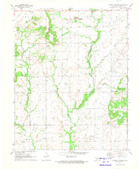
1971 · Pyramid Corners
USGS Topo · 1:24,000
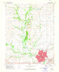
1971 · Vinita
USGS Topo · 1:24,000
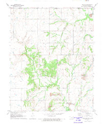
1971 · Welch NW
USGS Topo · 1:24,000
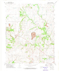
1972 · Estella
USGS Topo · 1:24,000
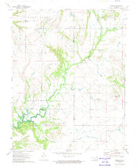
1972 · Sanders
USGS Topo · 1:24,000