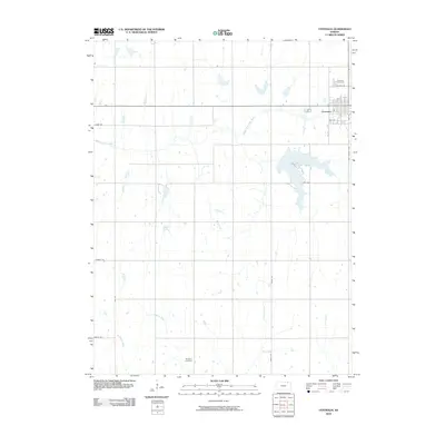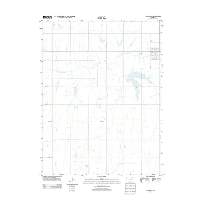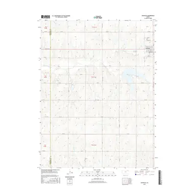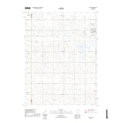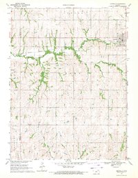
1969 Map of Centralia
USGS Topo · Published 1971About this map
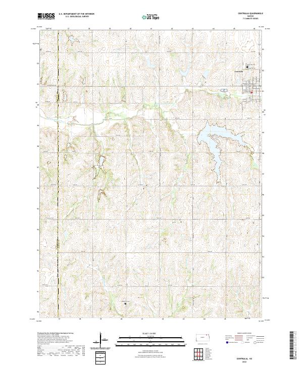
Centralia serves as the primary hub of this late 1960s Kansas landscape, situated where the Missouri Pacific railroad cuts across the northern plains of Nemaha and Marshall counties. The town's grid is established north of the Black Vermillion River, which winds through the terrain alongside significant drainage systems like Mulberry Creek and French Creek. This survey reveals a transition from the agricultural plateaus of Home and Neuchatel townships down into the wooded river bottoms.
Find a feature on this map
18 named features on this map. Tap any name to fly to it.
Don’t see what you’re looking for? This feature index may not catch every label — zoom into the map to look around manually.
Map Details
Editions of this 1969 Centralia Map
This is the sole edition of this map. No revisions or reprints were ever made.
Historical Maps of Centralia Through Time
6 maps found