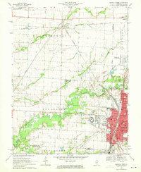
1969 Map of Centralia West
USGS Topo · Published 1971About this map
Centralia and its surrounding communities are depicted during a period of significant institutional and industrial activity. The map highlights the sprawling grounds of the Murray State Childrens Center and the campus of Kaskaskia College, underscoring the area's role as a regional hub for education and state services. The urban landscape is defined by a dense network of schools, including Schiller Sch and Eugene Field Sch, alongside established religious and burial grounds such as Mt Evergreen Cem and Barker Cem.
Find a feature on this map
68 named features on this map. Tap any name to fly to it.
Don’t see what you’re looking for? This feature index may not catch every label — zoom into the map to look around manually.
Map Details
Editions of this 1969 Centralia West Map
2 editions found
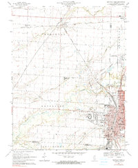
Other maps of this area

1910 · Carlyle
USGS Topo · 1:62,500

1914 · Centralia
USGS Topo · 1:62,500

1931 · Hoyleton
USGS Topo · 1:48,000

1932 · Nashville
USGS Topo · 1:62,500

1935 · Centralia
USGS Topo · 1:62,500

1936 · Nashville
USGS Topo · 1:62,500

1943 · Ashley
USGS Topo · 1:62,500

1946 · Ashley
USGS Topo · 1:62,500

1948 · Carlyle
USGS Topo · 1:62,500

1958 · Belleville
USGS Topo · 1:250,000