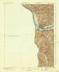
1913 Map of Ceredo
USGS Topo · Published 1927About this map
The confluence of the Ohio River and the Big Sandy River serves as the focal point of this 1913 survey, where West Virginia, Ohio, and Kentucky meet. The industrial and transportation corridor is dominated by the Norfolk and Western RR and the Chesapeake and Ohio RR, which trace the riverbanks and connect key settlements like Kenova and Ceredo. These railroads represent the vital coal and manufacturing links of the era, weaving through a landscape of steep ridges and deep hollows.
Find a feature on this map
39 named features on this map. Tap any name to fly to it.
Don’t see what you’re looking for? This feature index may not catch every label — zoom into the map to look around manually.
Map Details
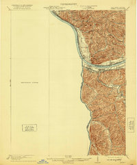
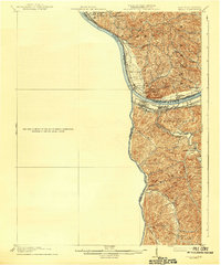
Editions of this 1913 Ceredo Map
4 editions found

Other maps of this area

1892 · Huntington
USGS Topo · 1:125,000

1898 · Huntington
USGS Topo · 1:125,000

1898 · Ironton
USGS Topo · 1:62,500

1900 · Ironton
USGS Topo · 1:62,500

1901 · Guyandot
USGS Topo · 1:62,500

1901 · Ceredo
USGS Topo · 1:62,500

1902 · Guyandot
USGS Topo · 1:62,500

1903 · Kenova
USGS Topo · 1:125,000

1904 · Kenova
USGS Topo · 1:125,000

1906 · Athalia
USGS Topo · 1:62,500