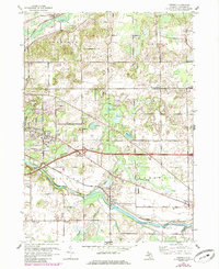
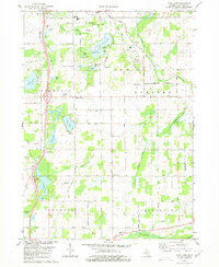
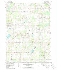
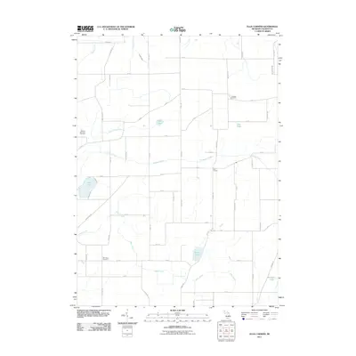
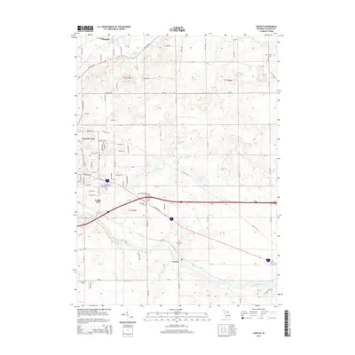
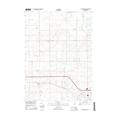
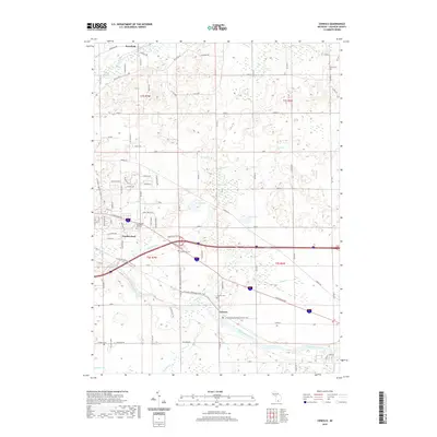
1961 Map of Ceresco
USGS Topo · Published 1985About this map
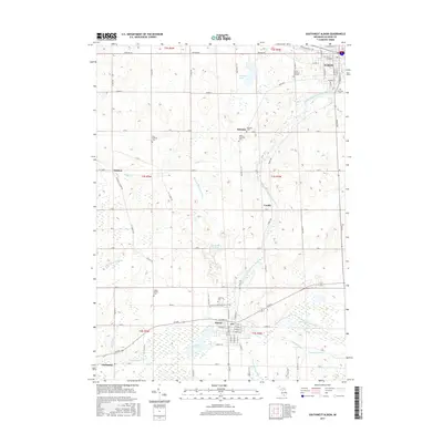
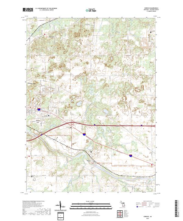
The Kalamazoo River and its accompanying Conrail rail line anchor the southern portion of this landscape, where the settlement of Ceresco sits at a historic crossing. Further north, the terrain is defined by a dense network of country schools, including the Cobblestone Sch, Red Brick Sch, and Lockwood Sch, which reflect a well-established rural education system before the era of district consolidation.
Find a feature on this map
46 named features on this map. Tap any name to fly to it.
Don’t see what you’re looking for? This feature index may not catch every label — zoom into the map to look around manually.
Map Details
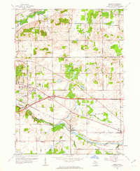
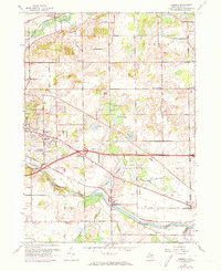
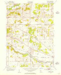
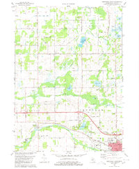
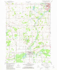
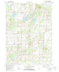
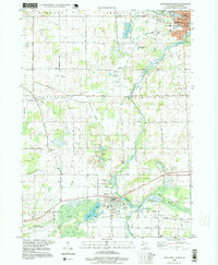
Editions of this 1961 Ceresco Map
3 editions found
Historical Maps of Pennfield Charter Township Through Time
38 maps found
1947 Ceresco
Calhoun County, MI
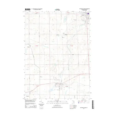
1961 Ceresco
Calhoun County, MI
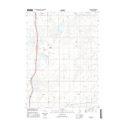
1980 Lyon Lake
Calhoun County, MI
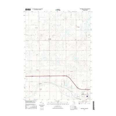
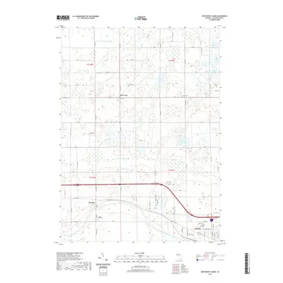
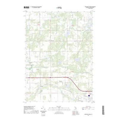
1980 Northwest Albion
Calhoun County, MI
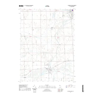
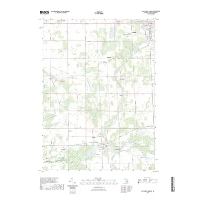
1980 Southwest Albion
Calhoun County, MI
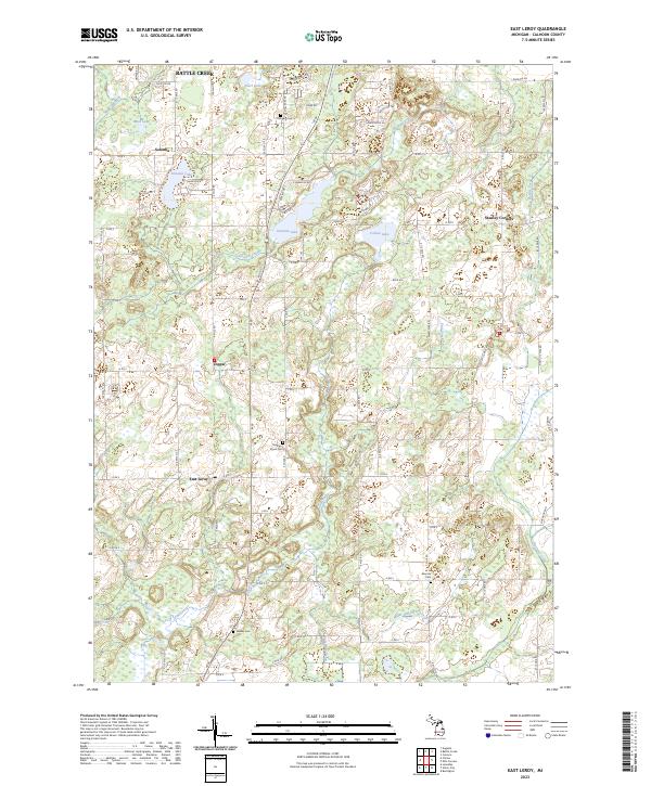
1982 East Leroy
Calhoun County, MI
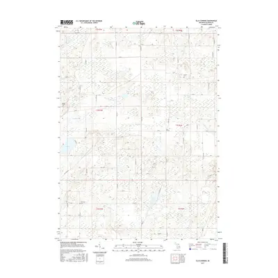
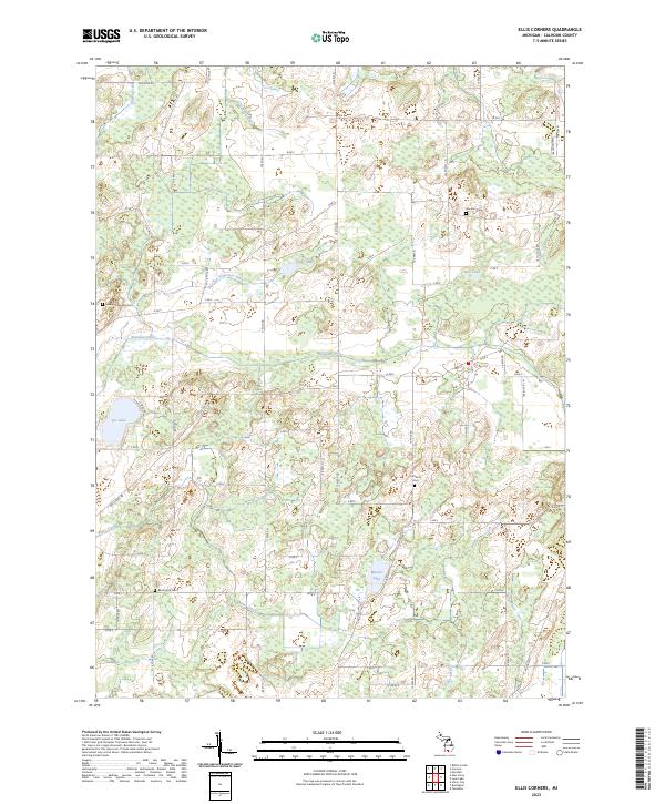
1982 Ellis Corners
Calhoun County, MI
1995 Southwest Albion
Calhoun County, MI
2011 Ceresco
Calhoun County, MI
2011 East Leroy
Calhoun County, MI
2011 Ellis Corners
Calhoun County, MI
2011 Lyon Lake
Calhoun County, MI
2011 Northwest Albion
Calhoun County, MI
2011 Southwest Albion
Calhoun County, MI
2014 Ceresco
Calhoun County, MI
2014 East Leroy
Calhoun County, MI
2014 Ellis Corners
Calhoun County, MI
2014 Lyon Lake
Calhoun County, MI
2014 Northwest Albion
Calhoun County, MI
2014 Southwest Albion
Calhoun County, MI
2017 Ceresco
Calhoun County, MI
2017 East Leroy
Calhoun County, MI
2017 Ellis Corners
Calhoun County, MI
2017 Lyon Lake
Calhoun County, MI
2017 Northwest Albion
Calhoun County, MI
2017 Southwest Albion
Calhoun County, MI
2019 Ceresco
Calhoun County, MI
2019 East Leroy
Calhoun County, MI
2019 Ellis Corners
Calhoun County, MI
2019 Lyon Lake
Calhoun County, MI
2019 Northwest Albion
Calhoun County, MI
2019 Southwest Albion
Calhoun County, MI
2023 Ceresco
Calhoun County, MI
2023 East Leroy
Calhoun County, MI
2023 Ellis Corners
Calhoun County, MI
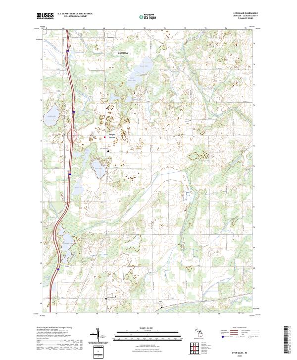
2023 Lyon Lake
Calhoun County, MI
2023 Northwest Albion
Calhoun County, MI
2023 Southwest Albion
Calhoun County, MI
Featured Locations
- Emmett Charter Township, MI
- Marshall Township, MI
- Pennfield Charter Township, MI
- Ceresco, Marshall Township
- Pennfield, Pennfield Charter Township