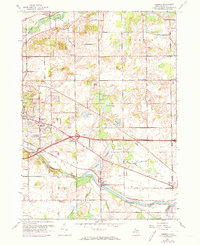
1961 Map of Ceresco
USGS Topo · Published 1973About this map
The Kalamazoo River and its accompanying Penn Central rail line anchor the southern portion of this landscape, where the settlement of Ceresco is situated near the Ceresco Cem. The topography is defined by a glacial lake district featuring Brigham Lake, Cleveland Lake, and the Black Marsh. This mid-century view captures a rural community organized around its traditional schoolhouses, including the uniquely named Cobblestone Sch, Red Brick Sch, and Sandstone Sch.
Find a feature on this map
46 named features on this map. Tap any name to fly to it.
Don’t see what you’re looking for? This feature index may not catch every label — zoom into the map to look around manually.
Map Details
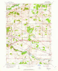
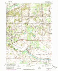
Editions of this 1961 Ceresco Map
3 editions found
Other maps of this area

1918 · Battle Creek
USGS Topo · 1:62,500

1918 · Union City
USGS Topo · 1:62,500

1921 · Marshall
USGS Topo · 1:62,500

1923 · Marshall
USGS Topo · 1:62,500

1943 · Battle Creek
USGS Topo · 1:62,500

1943 · Marshall
USGS Topo · 1:62,500

1947 · Bellevue
USGS Topo · 1:24,000

1947 · Bedford
USGS Topo · 1:24,000

1947 · Ceresco
USGS Topo · 1:24,000

1947 · Battle Creek
USGS Topo · 1:24,000
Featured Places
- Pennfield Charter Township, MI
- Pennfield, MI
- Emmett Charter Township, MI
- Marshall Township, MI
- Ceresco, MI