
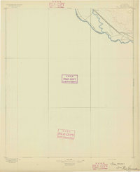
1903 Map of Cerro Alto
USGS Topo · Published 1929About this map
The Hueco Mountains dominate this high-desert landscape on the western edge of El Paso County, just south of the New Mexico-Texas Boundary Line. Surveyed at the turn of the century by W. J. Lloyd and Pearson Chapman, the terrain is defined by its arid drainage patterns and isolated peaks like Cerro Alto and the nearby Cerro Alto Lake.
Find a feature on this map
38 named features on this map. Tap any name to fly to it.
Don’t see what you’re looking for? This feature index may not catch every label — zoom into the map to look around manually.
Map Details
Editions of this 1903 Cerro Alto Map
This is the sole edition of this map. No revisions or reprints were ever made.
Other maps of this area

1894 · Fort Hancock
USGS Topo · 1:125,000

1895 · Sierra Blanca
USGS Topo · 1:125,000

1896 · El Paso
USGS Topo · 1:125,000
1896 · Rio Grande
USGS Topo · 1:125,000

1908 · El Paso
USGS Topo · 1:125,000

1939 · Heuco Tanks
USGS Topo · 1:62,500

1940 · Heuco Tanks
USGS Topo · 1:62,500

1940 · Bassett Lake
USGS Topo · 1:62,500
1941 · Clint
USGS Topo · 1:62,500
1941 · Tornillo
USGS Topo · 1:62,500