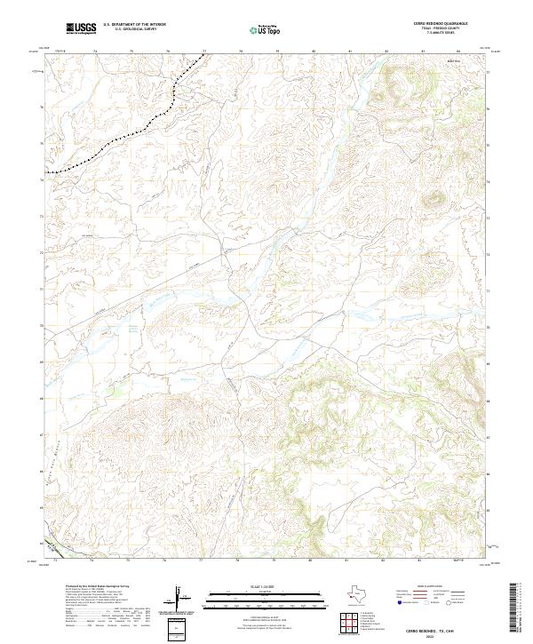
2022 Map of Cerro Redondo
USGS Topo · Published 2022About this map
San Marino and the surrounding high desert of Presidio County are defined by a network of seasonal watercourses and remote ranching access roads. The landscape is dominated by the Black Hills in the northeast, which shed water toward Alamito Cr and Black Hills Creek. This area illustrates the specialized ranching geography of the Big Bend region, where named water sources like Rabago y Teran Springs provide critical markers in an otherwise arid environment.
Find a feature on this map
14 named features on this map. Tap any name to fly to it.
Don’t see what you’re looking for? This feature index may not catch every label — zoom into the map to look around manually.
Map Details
Editions of this 2022 Cerro Redondo Map
This is the sole edition of this map. No revisions or reprints were ever made.
Other maps of this area

1896 · Polvo
USGS Topo · 1:125,000

1896 · Shafter
USGS Topo · 1:125,000

1959 · Presidio
USGS Topo · 1:250,000

1965 · Presidio
USGS Topo · 1:250,000
1971 · Agua Adentro Mountain
USGS Topo · 1:24,000
1971 · Redford
USGS Topo · 1:24,000

1978 · La Boquilla
USGS Topo · 1:24,000

1979 · Presidio East
USGS Topo · 1:24,000

1983 · Cerro Redondo
USGS Topo · 1:24,000
1983 · Casa Piedra
USGS Topo · 1:24,000