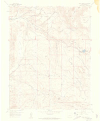
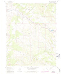
1957 Map of Cerro Summit
USGS Topo · Published 1959About this map
Lujane (Site) and Cedar Creek (Site) mark the former footprints of rail-side settlements in this high-altitude landscape of Montrose County. In the late 1950s, the terrain is defined by complex water management and transportation engineering, centered on the Denver and Rio Grande Western Railroad and its winding route through the canyons. The presence of the Old Hairpin Railroad Grade and the Portal Tunnel illustrates the extreme measures required to navigate the area's steep transitions, while infrastructure like the Microwave Relay Station at Cerro Summit reflects the era's technological advancement. Irrigation is prominent, with the South Canal and Vernal Mesa Ditch carving through the slopes of Poverty Mesa and Upper Bostwick Park, supporting the agricultural needs of the high valley. This survey captures a specific intersection of early mountain rail history and the mid-century expansion of public utilities.
Find a feature on this map
40 named features on this map. Tap any name to fly to it.
Don’t see what you’re looking for? This feature index may not catch every label — zoom into the map to look around manually.
Map Details
Editions of this 1957 Cerro Summit Map
7 editions found
Other maps of this area

1909 · Montrose
USGS Topo · 1:125,000

1911 · Montrose
USGS Topo · 1:125,000

1955 · Red Rock Canyon
USGS Topo · 1:24,000

1956 · Cimarron
USGS Topo · 1:24,000

1956 · Montrose
USGS Topo · 1:250,000

1957 · Cathedral Peak
USGS Topo · 1:24,000

1957 · Cerro Summit
USGS Topo · 1:24,000

1957 · Grizzly Ridge
USGS Topo · 1:24,000

1959 · Montrose
USGS Topo · 1:250,000

1960 · Montrose
USGS Topo · 1:250,000