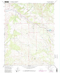
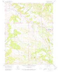
1957 Map of Cerro Summit
USGS Topo · Published 1986About this map
The engineering feat of the Gunnison Tunnel and its corresponding Portal define this high-altitude landscape east of Montrose. This 1957 survey, with revisions from the late 1970s, illustrates the complex water management system of the South Canal and Ditch networks that transformed the region. The map captures the small settlements of Lujane and Cerro Summit, connected by an Old Railroad Grade that winds through the high passes near Shinn Park and Squaw Hill.
Find a feature on this map
35 named features on this map. Tap any name to fly to it.
Don’t see what you’re looking for? This feature index may not catch every label — zoom into the map to look around manually.
Map Details
Editions of this 1957 Cerro Summit Map
7 editions found
Other maps of this area

1909 · Montrose
USGS Topo · 1:125,000

1911 · Montrose
USGS Topo · 1:125,000

1955 · Red Rock Canyon
USGS Topo · 1:24,000

1956 · Cimarron
USGS Topo · 1:24,000

1956 · Montrose
USGS Topo · 1:250,000

1957 · Cathedral Peak
USGS Topo · 1:24,000

1957 · Cerro Summit
USGS Topo · 1:24,000

1957 · Grizzly Ridge
USGS Topo · 1:24,000

1959 · Montrose
USGS Topo · 1:250,000

1960 · Montrose
USGS Topo · 1:250,000