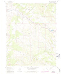
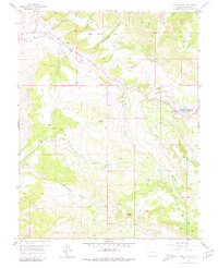
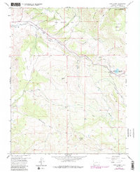
1957 Map of Cerro Summit
USGS Topo · Published 1984About this map
Gunnison Tunnel and a network of irrigation features define this high-altitude landscape east of Montrose. The map traces the critical water infrastructure of the era, including the Vernal Mesa Ditch and the Cimarron Canal, which supported the agricultural viability of Upper Bostwick Park. Near the settlement of Ellison, an Old Railroad Grade winds through the terrain, marking the path of former mountain transit through Cerro Summit.
Find a feature on this map
30 named features on this map. Tap any name to fly to it.
Don’t see what you’re looking for? This feature index may not catch every label — zoom into the map to look around manually.
Map Details
Editions of this 1957 Cerro Summit Map
7 editions found
Other maps of this area

1909 · Montrose
USGS Topo · 1:125,000

1911 · Montrose
USGS Topo · 1:125,000

1955 · Red Rock Canyon
USGS Topo · 1:24,000

1956 · Cimarron
USGS Topo · 1:24,000

1956 · Montrose
USGS Topo · 1:250,000

1957 · Cathedral Peak
USGS Topo · 1:24,000

1957 · Cerro Summit
USGS Topo · 1:24,000

1957 · Grizzly Ridge
USGS Topo · 1:24,000

1959 · Montrose
USGS Topo · 1:250,000

1960 · Montrose
USGS Topo · 1:250,000