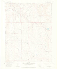
1957 Map of Cerro Summit
USGS Topo · Published 1968About this map
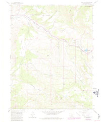
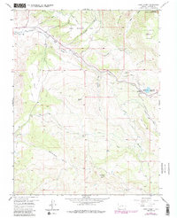
Cerro Summit serves as the focal point of this mid-century survey of the high country east of Montrose, where the remnants of early transportation and water engineering are clearly visible. The landscape is defined by its infrastructure, notably the Gunnison Tunnel and the winding Old Railroad Grade that snakes through the mountains toward former outposts like Lujane and Cedar Creek. These sites, marked as former settlements, indicate the shifting demographics of the region as early rail-dependent communities were replaced by modern utility works like the Microwave Relay Station and the Montrose Reservoir.
Find a feature on this map
32 named features on this map. Tap any name to fly to it.
Don’t see what you’re looking for? This feature index may not catch every label — zoom into the map to look around manually.
Map Details
Editions of this 1957 Cerro Summit Map
7 editions found
Other maps of this area

1909 · Montrose
USGS Topo · 1:125,000

1911 · Montrose
USGS Topo · 1:125,000

1955 · Red Rock Canyon
USGS Topo · 1:24,000

1956 · Cimarron
USGS Topo · 1:24,000

1956 · Montrose
USGS Topo · 1:250,000

1957 · Cathedral Peak
USGS Topo · 1:24,000

1957 · Cerro Summit
USGS Topo · 1:24,000

1957 · Grizzly Ridge
USGS Topo · 1:24,000

1959 · Montrose
USGS Topo · 1:250,000

1960 · Montrose
USGS Topo · 1:250,000