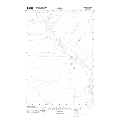
2011 Map of Chadborn
USGS Topo · Published 2011About this map
Shields River flows through this ranching corridor north of Livingston, anchoring a landscape defined by generational family holdings. The settlement of Chadborn sits at a geographic crossroads where several major drainages, including Kay Creek and Willow Creek, converge with the river. This 2011 survey documents a deep-rooted agricultural community, illustrated by the density of named family properties such as the Chadbourne Ranch, Francis Brothers Ranch, and Keys Brothers Ranch.
Find a feature on this map
50 named features on this map. Tap any name to fly to it.
Don’t see what you’re looking for? This feature index may not catch every label — zoom into the map to look around manually.
Map Details
Editions of this 2011 Chadborn Map
This is the sole edition of this map. No revisions or reprints were ever made.
Other maps of this area

1891 · Livingston
USGS Topo · 1:250,000

1893 · Livingston
USGS Topo · 1:250,000

1947 · Bozeman
USGS Topo · 1:250,000

1948 · Bozeman
USGS Topo · 1:250,000

1951 · Ibex Mountain
USGS Topo · 1:24,000

1951 · Gobblers Knob
USGS Topo · 1:24,000

1951 · Clyde Park
USGS Topo · 1:24,000

1951 · Chadborn
USGS Topo · 1:24,000

1951 · Grannis
USGS Topo · 1:24,000

1951 · Hoppers
USGS Topo · 1:24,000