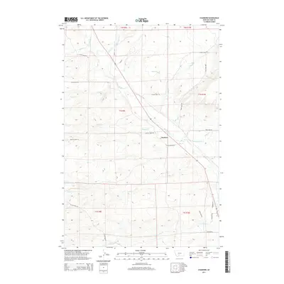
2014 Map of Chadborn
USGS Topo · Published 2014About this map
The Shields River valley defines the character of this 2014 survey, where the small settlement of Chadborn sits as a central landmark in Park County. The landscape is heavily influenced by the management of water for ranching or agriculture, evidenced by the presence of the Lower Shields Valley Ditch and the Palmer Ditch. These irrigation features parallel the river, cutting across a terrain marked by numerous drainage systems including Bangtail Cr, Fiddle Cr, and Crazy Head Cr.
Find a feature on this map
35 named features on this map. Tap any name to fly to it.
Don’t see what you’re looking for? This feature index may not catch every label — zoom into the map to look around manually.
Map Details
Editions of this 2014 Chadborn Map
This is the sole edition of this map. No revisions or reprints were ever made.
Other maps of this area

1891 · Livingston
USGS Topo · 1:250,000

1893 · Livingston
USGS Topo · 1:250,000

1947 · Bozeman
USGS Topo · 1:250,000

1948 · Bozeman
USGS Topo · 1:250,000

1951 · Ibex Mountain
USGS Topo · 1:24,000

1951 · Gobblers Knob
USGS Topo · 1:24,000

1951 · Clyde Park
USGS Topo · 1:24,000

1951 · Chadborn
USGS Topo · 1:24,000

1951 · Grannis
USGS Topo · 1:24,000

1951 · Hoppers
USGS Topo · 1:24,000