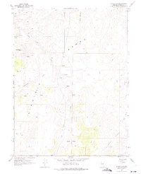
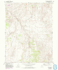
1967 Map of Chalk Hills
USGS Topo · Published 1975About this map
Virginia Range and Flowery Range topography dominates this 1967 field-checked survey of Storey County. The landscape is defined by an intricate network of primitive transportation, including numerous Jeep Trails and unnamed Trails that traverse the high ridges of Clark Mountain and Washington Hill. A significant archaeological site is noted by the presence of Petroglyphs near the center of the sheet, suggesting a long history of human activity in this arid environment.
Find a feature on this map
17 named features on this map. Tap any name to fly to it.
Don’t see what you’re looking for? This feature index may not catch every label — zoom into the map to look around manually.
Map Details
Editions of this 1967 Chalk Hills Map
5 editions found
Other maps of this area

1890 · Wadsworth
USGS Topo · 1:125,000

1891 · Carson
USGS Topo · 1:125,000

1891 · Wabuska
USGS Topo · 1:125,000

1891 · Reno
USGS Topo · 1:125,000

1892 · Wadsworth
USGS Topo · 1:125,000

1893 · Carson
USGS Topo · 1:125,000

1893 · Reno
USGS Topo · 1:125,000

1894 · Wadsworth
USGS Topo · 1:125,000

1894 · Wabuska
USGS Topo · 1:125,000

1950 · Virginia City
USGS Topo · 1:62,500