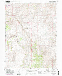
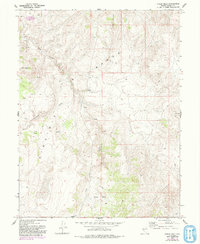
1967 Map of Chalk Hills
USGS Topo · Published 1993About this map
The Virginia Range dominates this landscape in Storey County, Nevada, where steep ridges and deep valleys define a rugged mining and ranching corridor. In the center of the sheet, Lousetown Valley and Long Valley Creek provide a natural route through the high terrain, marked by several Spring sites and a lonely Corral that speak to the area’s pastoral utility. To the south, the Chalk Hills and the Flowery Range create a complex topographic boundary, while the presence of scattered Prospects and a Prospect near Martin Canyon indicate the persistent search for mineral wealth that characterized this region long after the Comstock era. High points like Clark Mountain and Washington Hill stand as prominent landmarks overlooking a network of 4wd tracks that represent the only modern incursions into this high-desert backcountry.
Find a feature on this map
16 named features on this map. Tap any name to fly to it.
Don’t see what you’re looking for? This feature index may not catch every label — zoom into the map to look around manually.
Map Details
Editions of this 1967 Chalk Hills Map
5 editions found
Other maps of this area

1890 · Wadsworth
USGS Topo · 1:125,000

1891 · Carson
USGS Topo · 1:125,000

1891 · Wabuska
USGS Topo · 1:125,000

1891 · Reno
USGS Topo · 1:125,000

1892 · Wadsworth
USGS Topo · 1:125,000

1893 · Carson
USGS Topo · 1:125,000

1893 · Reno
USGS Topo · 1:125,000

1894 · Wadsworth
USGS Topo · 1:125,000

1894 · Wabuska
USGS Topo · 1:125,000

1950 · Virginia City
USGS Topo · 1:62,500