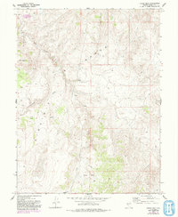
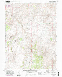
1967 Map of Chalk Hills
USGS Topo · Published 1993About this map
Virginia Range topography dominates this 1967 survey area, where the high ridges of the Flowery Range meet the distinctive Chalk Hills. This high-altitude landscape in the Nevada-Storey Co. borderlands is characterized by a sparse network of 4WD tracks and seasonal drainage systems. Significant water sources like Lousetown Creek and Long Valley Creek cut through the terrain, with numerous springs mapped across the slopes, indicating their importance in this arid environment.
Find a feature on this map
17 named features on this map. Tap any name to fly to it.
Don’t see what you’re looking for? This feature index may not catch every label — zoom into the map to look around manually.
Map Details
Editions of this 1967 Chalk Hills Map
5 editions found
Other maps of this area

1890 · Wadsworth
USGS Topo · 1:125,000

1891 · Carson
USGS Topo · 1:125,000

1891 · Wabuska
USGS Topo · 1:125,000

1891 · Reno
USGS Topo · 1:125,000

1892 · Wadsworth
USGS Topo · 1:125,000

1893 · Carson
USGS Topo · 1:125,000

1893 · Reno
USGS Topo · 1:125,000

1894 · Wadsworth
USGS Topo · 1:125,000

1894 · Wabuska
USGS Topo · 1:125,000

1950 · Virginia City
USGS Topo · 1:62,500