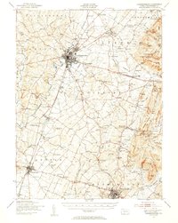
1943 Map of Chambersburg
USGS Topo · Published 1955About this map
The sprawling Letterkenny ordnance depot and the bustling borough of Chambersburg anchor this mid-century portrait of Franklin County. During the war years, the landscape was a complex mix of military industrialization and traditional rural life, evidenced by the numerous small schools such as Grand Point Sch and Portico Sch that still dotted the townships. To the east, the South Mountain range rises sharply, home to the Mont Alto Sanatorium and a network of natural springs like Pearl Spr and Eagle Rock Spring.
Find a feature on this map
153 named features on this map. Tap any name to fly to it.
Don’t see what you’re looking for? This feature index may not catch every label — zoom into the map to look around manually.
Map Details
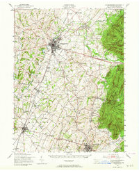
Editions of this 1943 Chambersburg Map
3 editions found

Other maps of this area

1900 · Mercersburg
USGS Topo · 1:62,500

1902 · Chambersburg
USGS Topo · 1:62,500

1902 · Mercersburg
USGS Topo · 1:62,500

1909 · Fairfield
USGS Topo · 1:62,500

1909 · Hagerstown
USGS Topo · 1:48,000

1911 · Emmitsburg
USGS Topo · 1:62,500

1912 · Hagerstown
USGS Topo · 1:62,500

1912 · Williamsport
USGS Topo · 1:62,500

1919 · Newville
USGS Topo · 1:62,500

1923 · Shippensburg
USGS Topo · 1:62,500