
1943 Map of Chambersburg
USGS Topo · Published 1955About this map
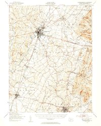
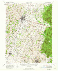
Chambersburg and the surrounding Cumberland Valley are depicted here during the height of the Second World War, showing a landscape defined by industrial growth and strategic military activity. The expansive Letterkenny Ordnance Depot occupies a significant portion of the northern terrain, illustrating the mobilization of the era. The region is a hub of transport and social services, with the Pennsylvania and Western Maryland railroads threading through towns like Greencastle and Waynesboro.
Find a feature on this map
143 named features on this map. Tap any name to fly to it.
Don’t see what you’re looking for? This feature index may not catch every label — zoom into the map to look around manually.
Map Details
Editions of this 1943 Chambersburg Map
3 editions found
Other maps of this area

1900 · Mercersburg
USGS Topo · 1:62,500

1902 · Chambersburg
USGS Topo · 1:62,500

1902 · Mercersburg
USGS Topo · 1:62,500

1909 · Fairfield
USGS Topo · 1:62,500

1909 · Hagerstown
USGS Topo · 1:48,000

1911 · Emmitsburg
USGS Topo · 1:62,500

1912 · Hagerstown
USGS Topo · 1:62,500

1912 · Williamsport
USGS Topo · 1:62,500

1919 · Newville
USGS Topo · 1:62,500

1923 · Shippensburg
USGS Topo · 1:62,500