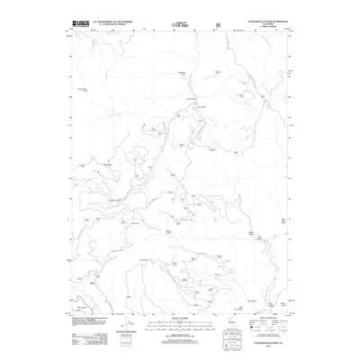
2012 Map of Chanchelulla Peak
USGS Topo · Published 2012About this map
Chanchelulla Peak and the high ridges of Shasta County define this 2012 survey, where steep drainages feed the Middle Fork Cottonwood Cr system. The area around Knob and Williams Ranch serves as a focal point for researchers interested in the rural settlement patterns and forest road networks of the early 21st century. The map details a landscape carved by numerous named gulches, such as Midas Gulch, Deadshot Gulch, and Bluford Gulch, reflecting a history of local nomenclature tied to the terrain.
Find a feature on this map
59 named features on this map. Tap any name to fly to it.
Don’t see what you’re looking for? This feature index may not catch every label — zoom into the map to look around manually.
Map Details
Editions of this 2012 Chanchelulla Peak Map
This is the sole edition of this map. No revisions or reprints were ever made.
Other maps of this area

1890 · Red Bluff
USGS Topo · 1:250,000

1894 · Red Bluff
USGS Topo · 1:250,000

1909 · Big Bar
USGS Topo · 1:96,000

1913 · Weaverville
USGS Topo · 1:125,000

1915 · Big Bar and Vicinity
USGS Topo · 1:250,000

1931 · Hoaglin
USGS Topo · 1:96,000

1935 · Hoaglin
USGS Topo · 1:125,000

1950 · Weaverville
USGS Topo · 1:62,500

1951 · Hayfork
USGS Topo · 1:62,500

1951 · Chanchelulla Peak
USGS Topo · 1:62,500