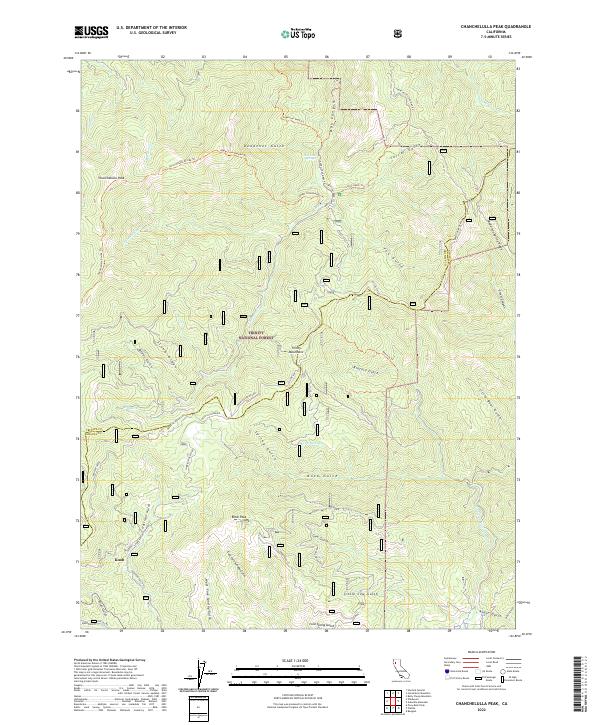
2022 Map of Chanchelulla Peak
USGS Topo · Published 2022About this map
The Trinity Mountains dominate this high-elevation landscape within the Trinity National Forest, where the boundary between Trinity County and Shasta County follows the drainage divides. The topographic detail highlights a complex network of ridgelines and gulches, including Stone Ridge and Anderson Spring Ridge. Water sources are numerous, with Browns Creek and the Middle Fork Cottonwood Creek draining the steep terrain.
Find a feature on this map
57 named features on this map. Tap any name to fly to it.
Don’t see what you’re looking for? This feature index may not catch every label — zoom into the map to look around manually.
Map Details
Editions of this 2022 Chanchelulla Peak Map
This is the sole edition of this map. No revisions or reprints were ever made.
Other maps of this area

1890 · Red Bluff
USGS Topo · 1:250,000

1894 · Red Bluff
USGS Topo · 1:250,000

1909 · Big Bar
USGS Topo · 1:96,000

1913 · Weaverville
USGS Topo · 1:125,000

1915 · Big Bar and Vicinity
USGS Topo · 1:250,000

1931 · Hoaglin
USGS Topo · 1:96,000

1935 · Hoaglin
USGS Topo · 1:125,000

1950 · Weaverville
USGS Topo · 1:62,500

1951 · Hayfork
USGS Topo · 1:62,500

1951 · Chanchelulla Peak
USGS Topo · 1:62,500