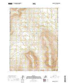
2017 Map of Chandalar B-1 NW
USGS Topo · Published 2017About this map
Chekhechumjik Cr meanders through the northern interior of this territory within the Yukon-Koyukuk Census Area. The landscape is defined by drainage patterns and high-latitude wetlands, particularly visible around the path of Flat Cr as it crosses the central and southern sections of the quadrangle. This 2017 survey by the U.S. Geological Survey documents a remote expanse of the Alaska interior, highlighting the topographic relief that separates these small waterways. The map is primarily oriented around the township and range boundaries of t31n r1e, t31n r2e, t30n r1e, and t30n r2e, illustrating the vast, unpopulated character of the region. The lack of named roads or settlements underscores the wilderness nature of this portion of the Chandalar area.
Find a feature on this map
6 named features on this map. Tap any name to fly to it.
Don’t see what you’re looking for? This feature index may not catch every label — zoom into the map to look around manually.
Map Details
Editions of this 2017 Chandalar B-1 NW Map
This is the sole edition of this map. No revisions or reprints were ever made.
Other maps of this area

1951 · Chandalar
USGS Topo · 1:250,000

1956 · Chandalar
USGS Topo · 1:250,000

1964 · Chandalar
USGS Topo · 1:250,000

1990 · Chandalar C-2
USGS Topo · 1:63,360
1990 · Chandalar B-1
USGS Topo · 1:63,360
1990 · Chandalar B-2
USGS Topo · 1:63,360
1990 · Chandalar C-1
USGS Topo · 1:63,360
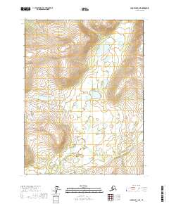
2017 · Chandalar B-2 NE
USGS Topo · 1:25,000
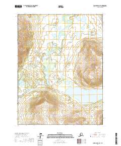
2017 · Chandalar C-2 SE
USGS Topo · 1:25,000
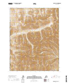
2017 · Chandalar B-1 SW
USGS Topo · 1:25,000